Charlottesville, VA a historic and nature-centric place to visit

“I read; I travel; I become.”—Derek Walcott

“Traveling—it leaves you speechless, then turns you into a storyteller.”—Ibn Battuta

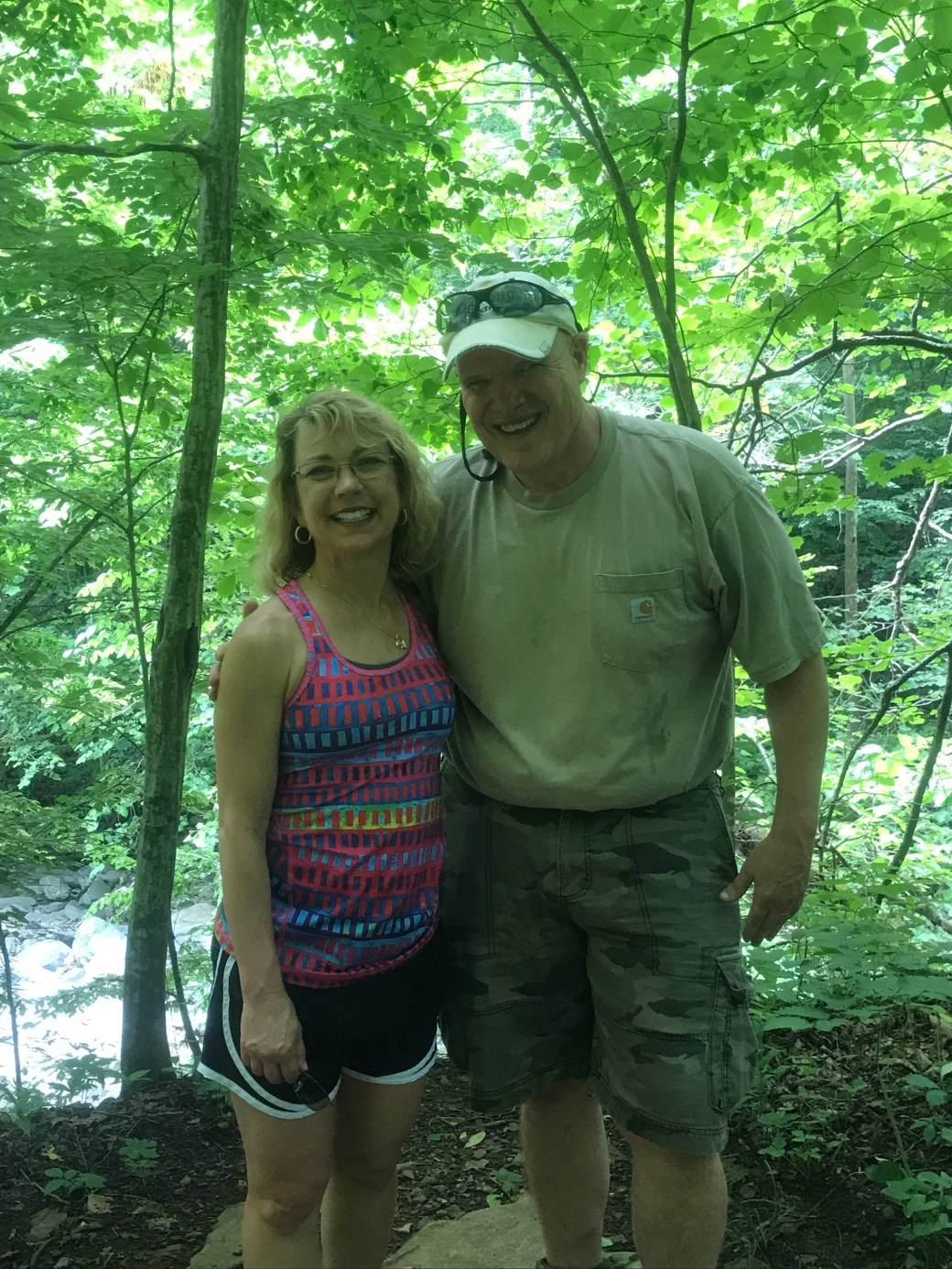
If you know my husband, John and me, then you know we thoroughly love to travel. In fact, we’ve become pretty good at traveling on a budget. Traveling is such an expression of whom we are, that we may forego other so-called luxuries, such as, up-to-date electronic gadgets, home decor, a gloriously flowered front lawn, and so forth, in order to set aside money for traveling. Therefore, even though our daughter is about to begin her college journey, and we already had a family trip planned, John still suggested that we should take a short excursion to celebrate our 28th wedding.

In order to keep it within our budget, we decided to travel during the workweek as lodging prices are often cheaper Monday through Thursday. After talking with our brother-in-law, Tony Humphreys, we decided to visit historic and nature-centric Charlottesville, VA. John investigated various travel sights, including one of our favorites, VRBO (Vacation Rentals By Owners), in search of reasonably priced lodging. He was able to find an adorable studio apartment for us to rent for less than the cost of a hotel room. Therefore, we could take in food/snacks and make use of the well-stocked kitchen. Additionally, the owners provided a variety of coffees, teas, juice, and milk as well as linens, paper products, soaps, shampoos and so forth.

The apartment was nestled inside and below a home built in the 1830s, and may have been servants’ quarters in a past time. We were less than five minutes from I-64, and one mile away from downtown Charlottesville. Additionally, the house was located near the Rivanna Trail, a 20-mile “urban wilderness” hiking trail, while its backyard bordered the Rivanna River, a 42.1 mile-long tributary of the James River. We were situated in what is called the Woolen Mills area, one of the oldest neighborhoods in Charlottesville that was developed around the Charlottesville Woolen Mill, which operated from the mid-1850s to the 1960s. Furthermore, three doors down from our place of stay was the historic Woolen Mills Chapel, built in the 1880s to provide a center for both ministry and meetings for the area; and, it continues to serve in the same capacity.

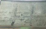
As we have visited the Charlottesville area on a number of occasions, usually from a historical perspective, we decided to explore the city, and beautiful area around it, with a fresh perspective. We began by taking advantage of the Woolen Mills neighborhood. Of the four days we were there, we took time out of three to explore, walk, and wander this charming, lush, and peaceful river area of town. From strolling along the banks of the Rivanna River, to visiting the historic church; from traversing through the neighborhood taking in the variety of architecture, to exploring our home owners expansive lawn/garden with numerous art pieces and sculptures created by the owner; and, from climbing a few local hills, to listening to a babbling brook that fed the Rivanna River—this was unique and pleasant area.


We had hoped to fish, but that did not work out as I had neglected to pack the proper footwear for wading. However, we did talk to several locals who stated the Rivanna River was great for ultra light tackle action for bluegill, rock bass, largemouth bass, sunfish, crappie, and John’s favorite: smallmouth bass. Additionally, there is a local outfitter company, Rivanna River Company, with whom we spent time talking. This company offers boats and equipment, self-guided and guided adventures via kayaks, canoes, and tubes. However, given we were adhering to a budget-friendly excursion, we stuck to exploring the Rivanna River via the trail and riverbanks.

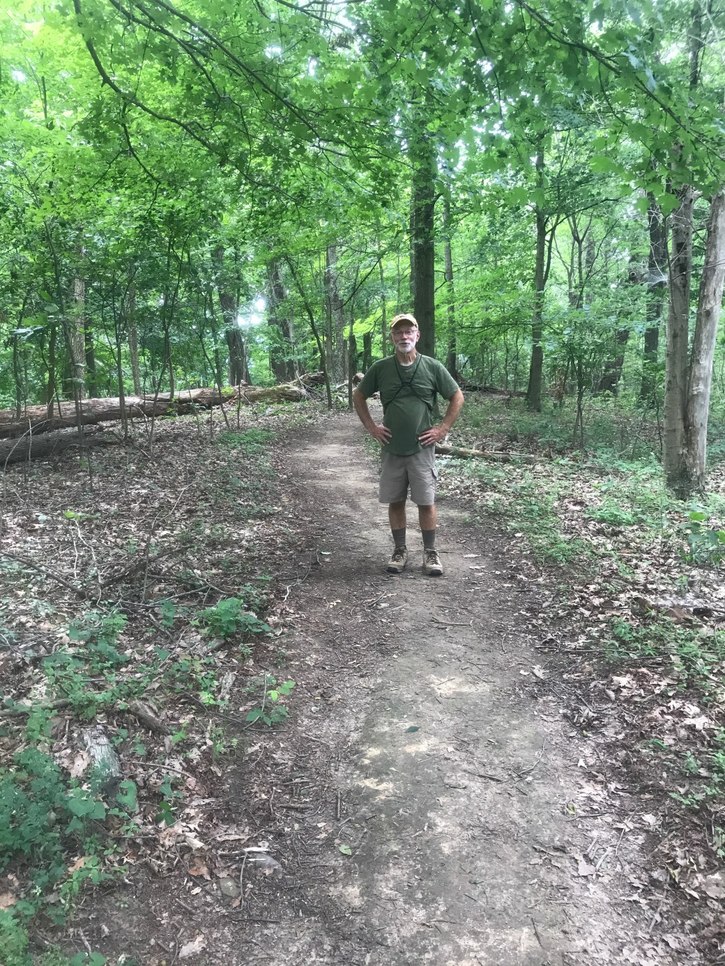
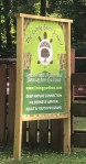
Located a short walk from our apartment was Riverview Park, a nice community area directly beside the Rivanna River. The park has a paved, one-mile walking loop, playground, picnic tables, canoe/kayaking launching/landing, and even a small, sandy beach area complete with a short boardwalk. Additionally, there is a trailhead jutting off from the walking path that allows visitors direct access to the Rivanna Trail. John and I thoroughly loved this area and made it a point to explore it twice during the morning hours, including a ten-mile hike/walk one day.

Within a 10-15 minute drive, was the Historic Pedestrian Downtown Mall. We spent one afternoon ambling along and around this eight-block business area that also happens to be one of the longest pedestrian malls in the United States. Within the mall’s picturesque, redbrick pathways, lined with sprawling oak trees, is an eclectic mix of restored and renovated buildings, including a hands-on Virginia Discovery Museum for children, movie theaters, Charlottesville Visitor Center, and concert pavilion. Additionally, there are more than 120 shops as well as 30 restaurants, many, we noticed, with outdoor dining. Plus, for those interested, there is a bus running (for free) every 30 minutes between the mall and the historic University of Virginia for those inclined for more sight-seeing adventures.

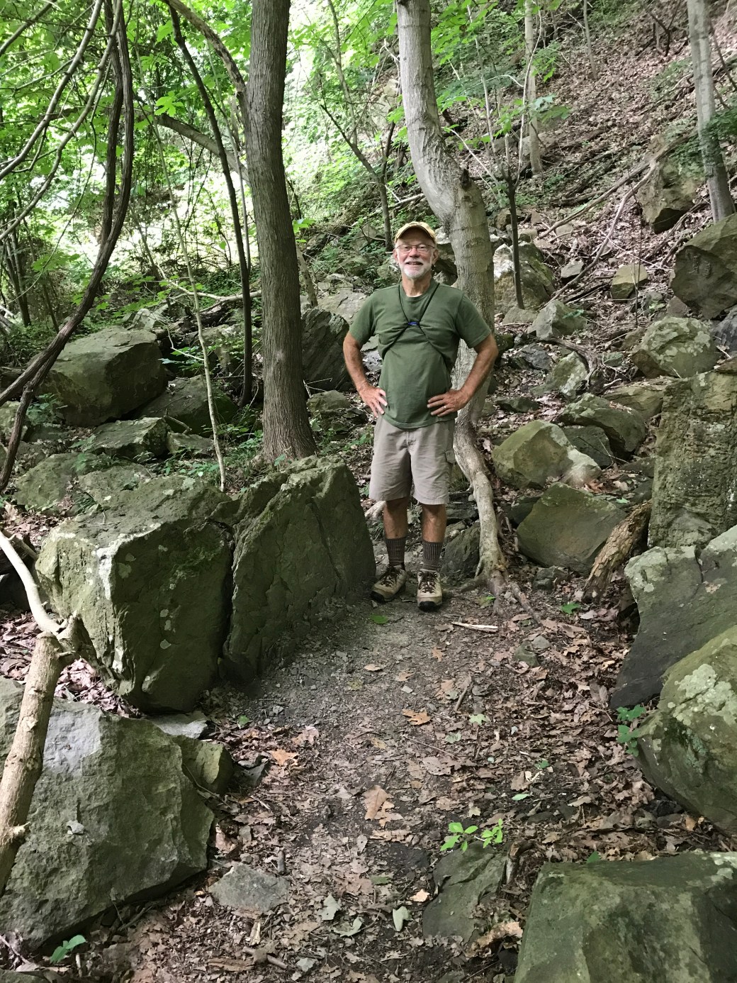
Our last full day in Charlottesville was spent meandering along the Sugar Hollow area and hiking the Moorman’s River trail outside of the charming and quaint town of Crozet, VA.   This beautiful 5.0-mile path has a 460-foot elevation gain. However, the well-marked trail possesses such a gradual grade that we did not particularly feel as if we were hiking uphill until we noticed the ease with which we traipsed on the return.   The path follows a rocky, shallow spring that feeds into the Moorman River. Depending upon the water level and amount of recent rains, there may be several visible waterfalls and swimming hole. During our visit, the waterfalls were not per se prominent, but the swimming hole certainly appeared to be a popular spot.   Even without spectacular waterfalls, John and I never tired of the sound of babbling waters.

Lastly, no trip would be complete without tasty food; and we certainly had overall positive dining experiences while in Charlottesville. One travel trick we have learned to keep expenses low is not to dine out for breakfast and lunch. Then, for dinner, choose restaurants with happy hour specials for food and drinks. Additionally, with the help of Trip Advisor, we are able to find copious dining venues not only with excellent happy hour deals, but also offering a variety of gluten-free choices, a consideration for my personal dietary needs. Two such restaurants John and I would highly recommend when visiting the Charlottesville, VA area are the Sedona Taphouse and Travinia, an Italian Kitchen and Wine Bar.


Overall, our trip to Charlottesville was positive, pleasant, and peaceful. Needless to say, we highly recommend this engaging, educational, and entertaining area of Virginia near the beautiful Blue Ridge Mountains. For more specifics on our hiking adventures, dining experiences, and more photos please visit my website/blog stephsimply.com

IMG_1280


Ravens Rock Trail, Portsmouth, OH

            “But the love of adventure was in father’s blood.”—Buffalo Bill

           “Only one who wanders finds a new path.”—Norwegian Proverb

As a young girl, one of my favorite events was a Sunday afternoon hike with my dad, Larry Musick. Dad would gather part or all of us kids. (Counting me, there were four kids in my family, of which, I was the oldest.) This most often occurred, as best I can recall, on fall or mild winter days. Once bundled up, we traipsed out into our back yard and headed up a petite hill to what we referred to as the “back road.”

The back road was really a long right-of-way dirt path to the property behind our neighborhood street. The Broughton family owned most of the hillside behind one side of our neighborhood, and had a farm just beyond the top of our cul-de-sac street. They were a quiet family who mostly kept to themselves, but had given Dad permission to hike their property from time to time.

Dad, as I recall, was never in a hurry with us when we hiked, and he was especially patient. We could pile leaves together and jump in them if we wanted, or swing on a vine hanging from trees, and then, bravely jump off. He’d talk to us about the different types of trees, nuts, birds, animal tracks, leaves, and so forth. Sometimes, on rare moments, he could convince us to be quiet, so we could learn to hear God’s voice whistling and whispering to us amongst those rolling hills.

I recall on a couple of walks, we seemed to get “lost,” but if Dad was worried, he never let on to us. In fact, these “lost-times” were often the best hikes because that was when we discovered, in my overactive kids imagination, magical places. Once or twice, we ran across a group of family tombstones so old the writing was weathered and unreadable. I felt certain, in my child’s heart, the buried family had been brave pioneers who had withstood a number of Indian attacks. Another time or two, we encountered the hearth and foundation of what appeared to have once been a tiny home. My imagination would be stirred once more, and I could vividly envision my childhood storybooks for which this home might have been the setting.

My point is this—I found peace during those times– I could not have articulated it then, but I was developing a profound sense of Divine communion when I was out exploring on those wooded hill hikes of long ago. Just as from a tiny acorn, a mighty, deeply rooted oak can grow, so too, was a seed planted within me during those hikes. Even now, at age 51—I feel deeply rooted and simultaneously awe-inspired when I spend in nature.

Recently, I had the pleasure to join my Dad on a hike in honor of Father’s Day, but I’m not sure if it was a gift to him or a gift to me! The original plan was to hike and/or visit what we call, “High Rock,” the towering overlook above Ohio 52 near Hanging Rock. However, we discovered that access is now denied as we encountered a “No trespassing” sign. Therefore, we had to give up that notion, and quickly come up with an alternative.

IMG_1355
My dad, Larry Musick, about half-way up trail pictured in what I referred to as the “Rock Garden.”
IMG_1362
Dad at the top of the ridge, just before walking onto Ravens Rock.
IMG_1349
This sign is so small. No wonder I have driven past this trail head repeatedly and never noticed it.

In keeping with the hike-with-a-view theme, we formed an alternate plan to hike Ravens Rock trail, a suggestion from my husband before we left home. Haven’t heard of it? Neither had we, but Dad and I decided it was worth a try.

Located directly across from the Shiners’ Lodge and Portsmouth West schools, I have literally driven past Ravens Rock trailhead on numerous occasions and never knew it existed. In fact, it wasn’t until 1996 that this land, that includes three arches formed from Mississippian sandstone, became an official nature preserve. In fact, due to the vulnerability of the cliff community and the rigorousness of the trail, hikers are only allowed to explore this path with a permit. This was not hard to obtain, as we simply had to drive a bit past Ravens Rock and follow the signs to Shawnee State Park Lodge to the Shawnee Parks Office, just before the lodge, and apply for a free permit there. Additionally, permits can be obtained on-line.

Dad and I had the perfect day—at least as far as summer hiking goes. It was cloudy and breezy, a bit humid, but not too hot. It wasn’t until after the hike that I learned that Dad and I had ascended approximately 500 feet on this winding, steep, but well marked trail. Additionally, I also later learned that the path is lined with blackjack oak trees—a potentially threatened tree species in Ohio. Likewise, the state endangered, small-flowered scorpion weed can also be viewed along this trail; and, while I did not spy this flower along the path, I did observe several varieties of minute flowering plants dancing in the breeze.

Based upon what we read before our hike, as well as information we read on a sign at the top of the trail, Native Americans, such as Shawnee scouts, once used the rock as a lookout in search of European settlers. These settlers traveled by flat boats on the Ohio River and could be seen from this high rock; and thus, the Indians could then launch attacks in an attempt to keep the white settlers out of the Ohio territory.

In fact, one legend, (though there are many variation) credits Native Americans for naming the rock as it supposedly looks like a raven with outstretched wings. As previously mentioned, there are three natural arches, with the largest spanning 10-15 feet long, depending upon the source cited, and 14 inches wide at it most narrow point.

The trail to reach the high bluff is 1.5 miles long—which doesn’t sound too bad—until you realize it’s all ascending. Nonetheless, it is quite doable for all levels of healthy hikers. Furthermore, once you arrive at the top, it is well worth the “uphill battle” (pun-intended).

I immediately exclaimed to Dad that this was a double-high-five view as we took our first glance of the expansive, and spectacular panorama. In fact, I felt downright giddy as we gazed out over the Portsmouth/Ohio River Valley area. We could see sprawling fields, the Ohio River snaking through the valley, and layer upon layer of hills across the river in Kentucky.   To the left side was the beautiful, cabled Portsmouth bridge, to the right was the quilted patchwork of farmland, directly below us were the new Portsmouth West schools, and above us, well, I am pretty sure I could have tickled God’s beard if I had jumped—of course that may just be a slight exaggeration. Dad and I sat down and remained seated for 20 or so minutes just soaking the goodness from below and above. Funny, how a change in perspective can alter your view—literally and figuratively.


For those with curiosities, like my Dad and me, you can certainly explore a bit at the top.   However, we HIGHLY recommend hikers exercise great care and caution if choosing to do this. Dad and I felt like we were on a giant, natural jungle gym for adults as we climbed, photographed, and investigated the magnificent rocky area.

Dad and I agreed; Ravens Rock is a hiking gem. It is a trail we would highly recommend, no matter the season. It is certainly worth the drive and the climb.

IMG_1400
Dad and I agreed; We would definitely recommend Ravens Rock trail!

Sugar Hollow Hiking Trail, aka Moorman’s River Trail, Charlottesville, VA

        “In every walk with nature, one receives far more than he seeks.”—John Muir

       “If you are seeking creative ideas, go out walking. Angels whisper to a man when he goes for a walk.”—Raymond Inmon

“If you like hiking, you should try my favorite trail.” I was talking to a vivacious, young saleslady in a store in Charlottesville. VA. She was one year older than my own 18-year-old daughter, and her co-worker was the exact same age. Her expressive eyes communicated almost as much as her words.

“My first semester this past year started off rough. I remember going to my advisor’s office and crying, feeling as if I would never make it in college.”   She went on to explain that a few weeks later, she landed a part-time job and was then able to have a car on-campus.

“Once I had my car, I was able to leave campus and explore the Charlottesville area.” Continuing, she explained that it was through one of her weekend excursions that she found what she referred to as her, “favorite hiking trail and swimming hole.” She called it, the “Sugar Hollow trail,” but my husband, John, and I would later learn its actual name is the Moorman’s River trail, near Sugar Hollow.

John and I were staying in Charlottesville, VA in June of 2017 celebrating the 28th anniversary of our wedding. The week in which we stayed was hot and humid—with temperatures soaring into the 90s, while lows merely dipped into the 70s, and thunderstorms occurred each afternoon/evening. The morning prior to this conversation, John and I had traversed along the Rivanna Trail for a round-trip hike of approximately ten miles, and we were up for a new challenge!

After talking it over, we decided that Sugar Hollow, aka Moorman’s River trail, sounded right up our alley. Described by our young friend as possessing several waterfalls, swimming holes, and picturesque scenery, John and I were super pumped. We both feel renewed and close to God anytime we are out in the woods and/or near water, especially wooded waterways. Searching on our Google maps and Waze GPS apps, we found a location for Sugar Hollow, so we thought we were all set!

Jetting off the next morning on I-64 towards Crozet, VA, John and I believed with our trusty map apps in hand, all was good. Crozet itself is an adorable, clean, quaint looking town, we observed, as we made our way along the winding roads to what we thought was our hiking destination. The drive itself was stunning. Beautiful roadside vistas, rolling cattle farms, and charming wine vineyards zoomed past us on twisty-turny country roads. Eventually, we no longer had cell phone service, and my Google maps app quit working on my phone; however, John’s Waze app fortunately continued working.

Soon the road narrowed greatly, and the pavement began to look worn. Before long, we were driving along a mixture of gravel/dirt road. We were following the Moorman River, an ambling, rocky river that looked like trout/fly-fishing waters with its rocky bottom, shallow waters as well as here and there waterfalls. We drove past a camp called, The Living Earth School, which appeared to be currently in use as a summer day camp. Continuing on down the dirt path, we passed the Sugar Hollow Inn, a beautiful bed and breakfast in the middle of a mountain/river valley. Finally, the Waze app said we had arrived.


Parking the car in what appeared to be a parking lot and walking around, we found a sign that stated we were at the Sugar Hollow Dam and Reservoir. (We later learned this dam was scenery for the beginning of the of the movie, Evan Almighty. Who knew?) Searching all around, we never found what appeared to be a trailhead. Long story, longer, we decided to drive a few miles back to the camp. Lo and behold, one helpful camp counselor sent us right back in the direction from which we came! As it turned out, when we were at the dam, we were only a short distance away from the trailhead!

Apparently, at one time, there were two parking areas for this popular outdoor adventure area; however, there is now only one, and it was packed when we arrived. That said, for as many cars as we saw—we did not encounter what we would consider a large number of people that day. Further, the hikers we did encounter spanned the age bracket from preschoolers to senior adults and all ages in between. Additionally, the hikers we met, as a general rule, were friendly, helpful, and courteous.

The hike itself is 4.5 miles or so. The elevation change is 460 to 625 feet—depending upon the source referenced. John and I agreed the path could best be described as gently sloping. Our heart rates were elevated, but steady throughout the hike; and, we were never huffing or puffing as often happens on steep incline trails. The challenge came with stream crossings. We encountered three crossings in which we either had to choose to wade the water, or balance-step from one rock to the next across the stream—which is what we did until the third crossing. At the third, and final, crossing, there was no way to avoid getting our feet submerged in the water; and, while John was wearing waterproof boots, my hiking shoes were only water resistant. Therefore, we made the choice to skip the last short leg of the hike because the idea of finishing the trail, walking back through the water, and then continuing the rest of the way down hill with wet feet sounded like an excellent invitation to blisters!

Nonetheless, this trail was fairly easy to navigate and certainly well maintained. In fact, I would call it pleasing as we hiked along to the continuous musical sound of flowing water. Additionally, there was indeed one swimming hole along this trail that seemed fairly popular with young families, teens, and young-adults. Furthermore, on this particular day, the trail was teeming with a multitude of butterflies of all sizes and colors. These ethereal creatures flitted, floated, and fluttered along the path and nearby wooded area. At times, it felt as if John and I were experiencing an otherworldly hike; and at any time, we might encounter a fairy, nymph or elf. (Perhaps, this is a sign I have an overactive imagination!)

In conclusion, John and I most certainly hope to return to this trail. It is a superb trail for those who enjoy beautiful scenery, a shaded path, the sound of babbling water, and a doable hike that isn’t super difficult, but definitely nourishing for soul. Next time, however, waterproof shoes, hiking poles (for balancing over rocky stream crossings), and bug spray will certainly be on the list of required attire/accessories! In the meantime, we highly recommend this trail to healthy hikers of all ages!

IMG_1280
Another hiking couple volunteered to take our picture for us along the Moorman’s River Trail.