“The pull of nature, the peace of the forest and water couldn’t be ignored any longer . . .”–Dan McGuire, owner, Charlton Lake Camp
There’s Something about CanadA🇨🇦

It had been a long time since John, my husband, and I had been to Canada. Unlike me, John began traveling to Canada for annual fishing trips in 1985. At that time, he was the young one, newly initiated to the fishing group. Thirty-five years later, many of those long ago fishing buddies have since departed to heavenly waters. Others have lost interest in participating in a trip that requires such a long drive, and some no longer have the vacation time needed for a week of fishing plus an extra day or two for driving. John gets it, but his heart was breaking with the thought of not returning to his beloved fishing playground.
Therefore, after a bit of “mediation”, John and I sketched out a travel plan that included a trip to Canada, specifically to Charlton Lake Camp, but it also included a couple of other stops along the way. (One of those was Mackinaw City, MI for which I previously wrote about last week.) Little did either of us know how very much we would enjoy Charlton Lake Camp and its lovely surrounding areas!
Charlton Lake Camp🏕️
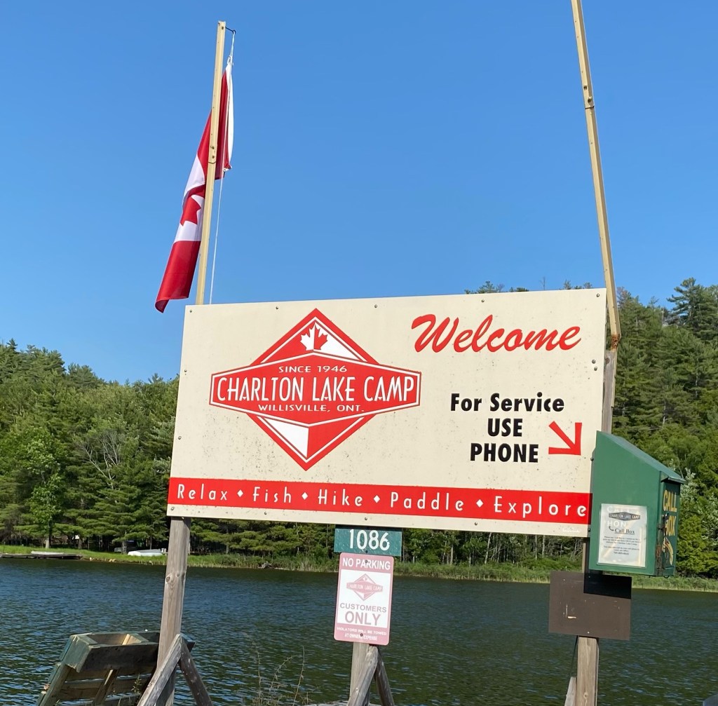
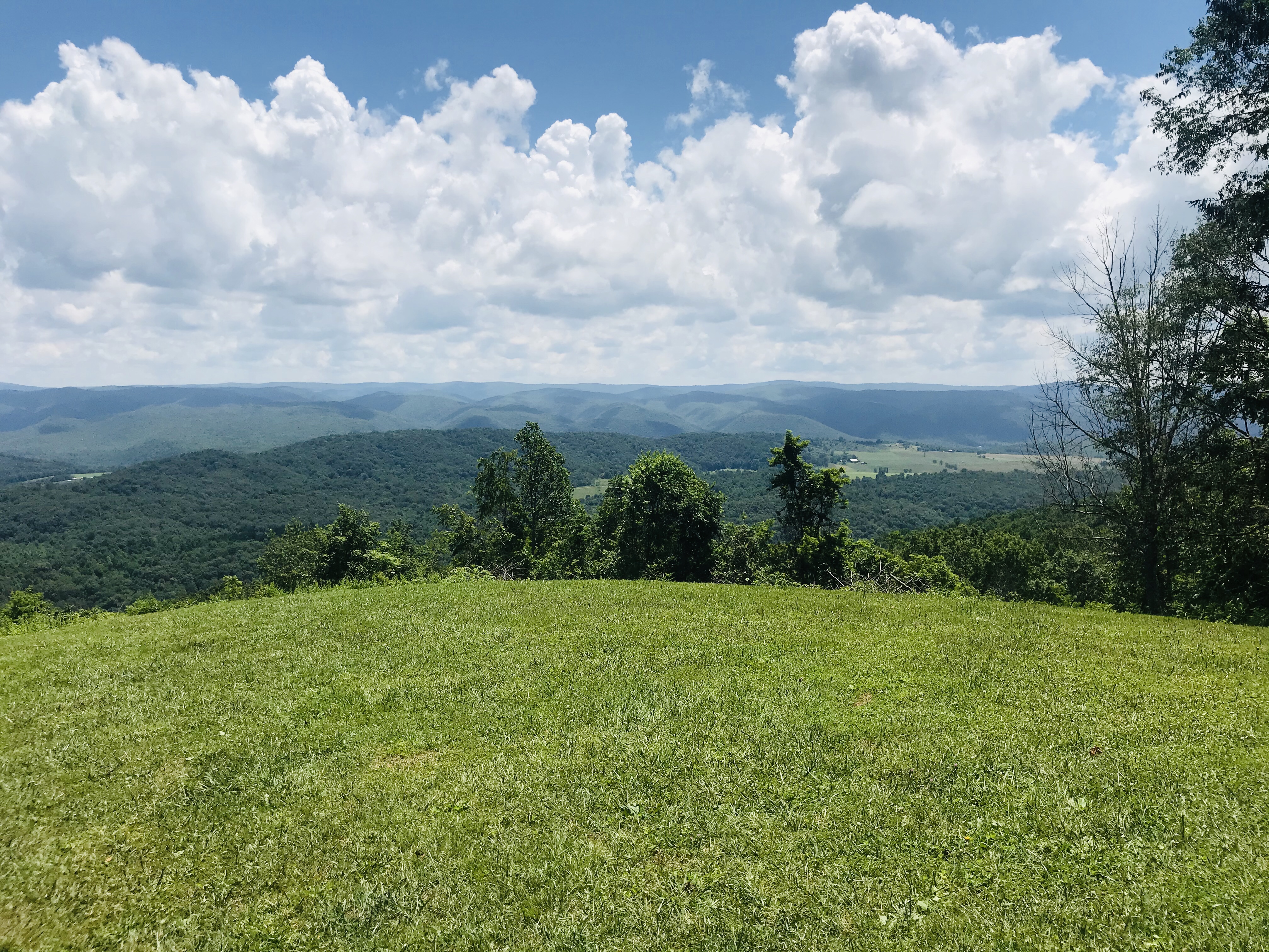
Nestled in the La Cloche Mountains just beyond the hamlet of Willisville, Ontario.
Charlton Lake Camp, currently owned by Dan and Lisa McGuire, is a picturesque waterfront setting. With access to Frood Lake, Lake Charlton, Cranberry Bay, as well as canoe only portages leading to Grace Lake (made famous by the Canadian Group of Seven Artists) and Nellie Lake, Charlton Lake Camp offers a wide-array of adventures for family, individuals, or friends. Think of all your favorite summer activities–fishing, paddling (canoe, kayak, paddle board, and even peddle boat), hiking, boating, swimming, sunning, campfires, smores, lounging/reading/napping in hammock, and plenty of space to hike, write, paint, draw, or simply dream–and you’ll discover that Lake Charlton is the perfect place for all of these and more!

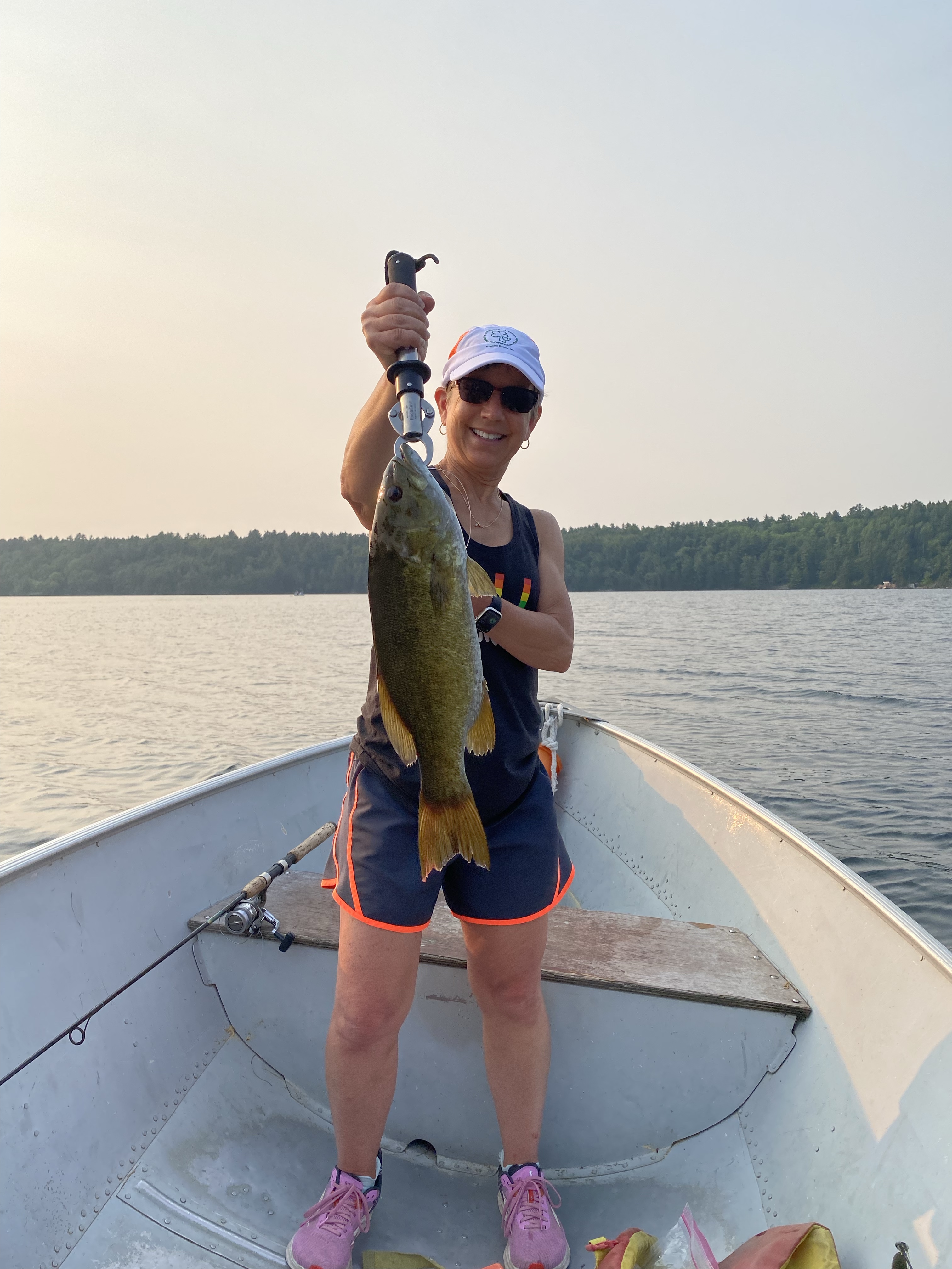
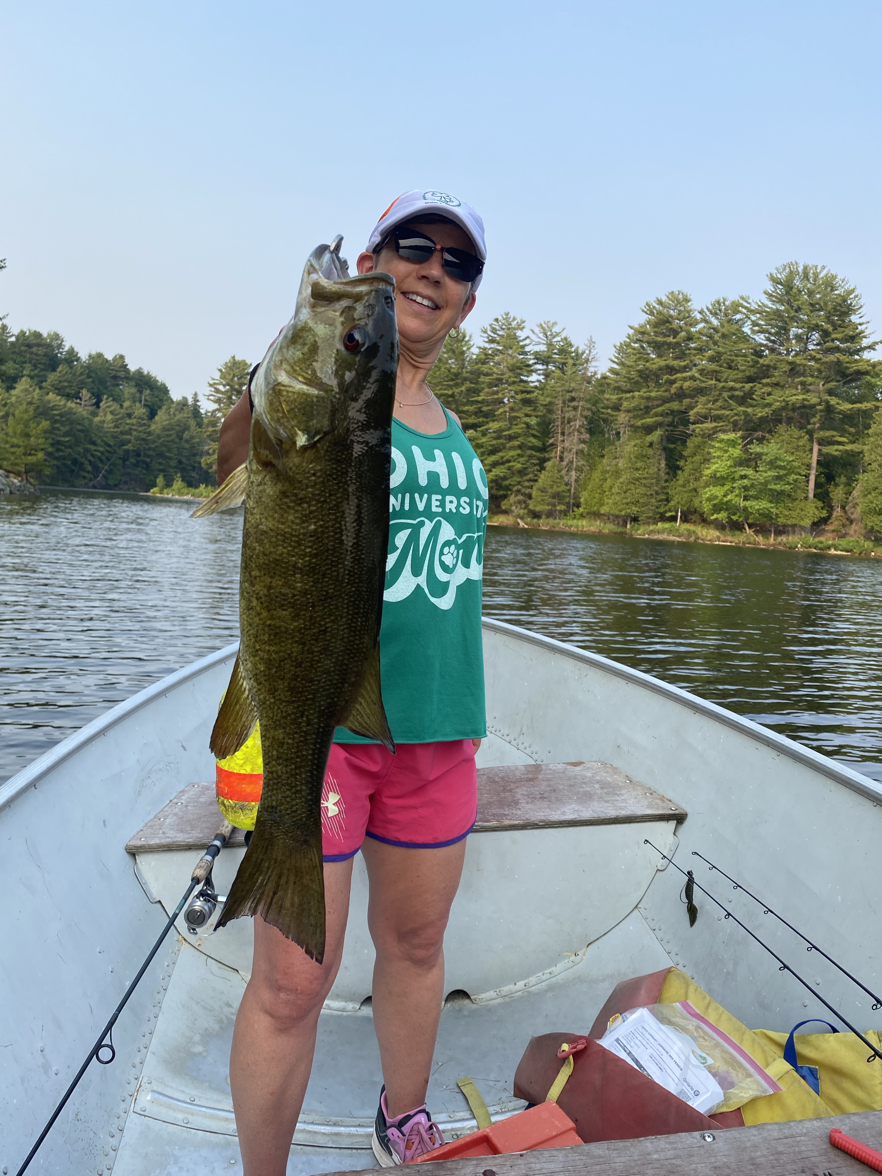
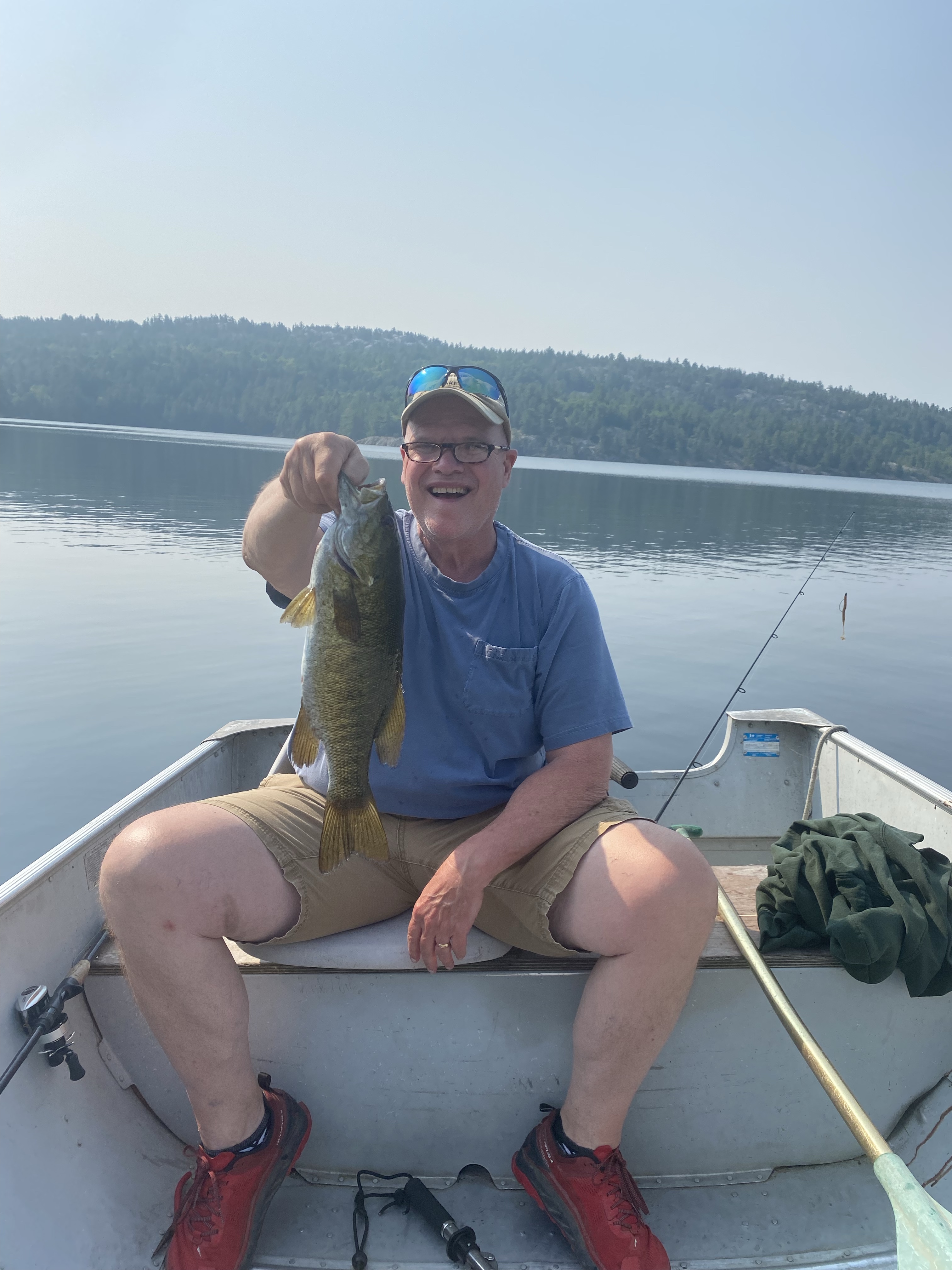
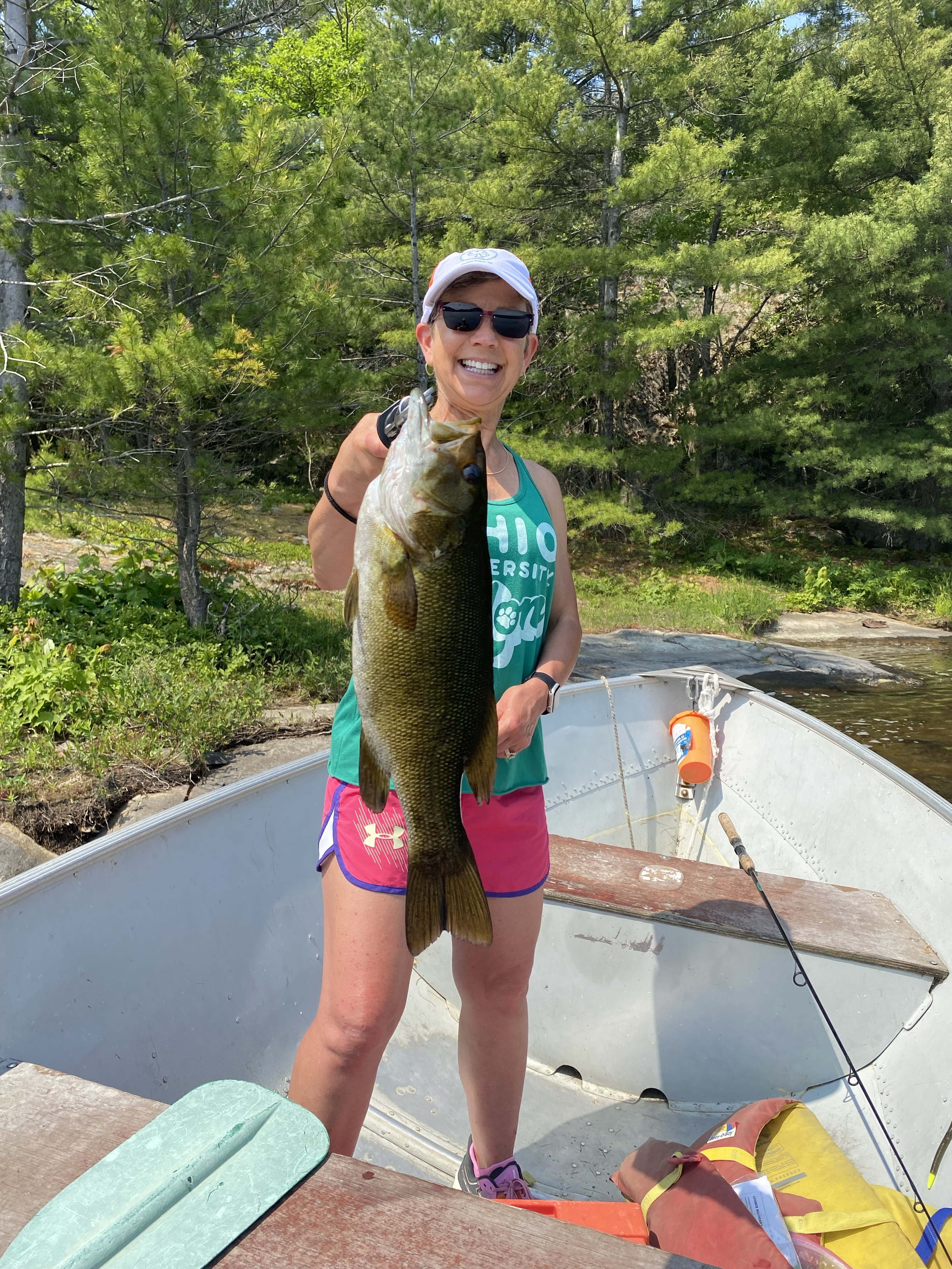
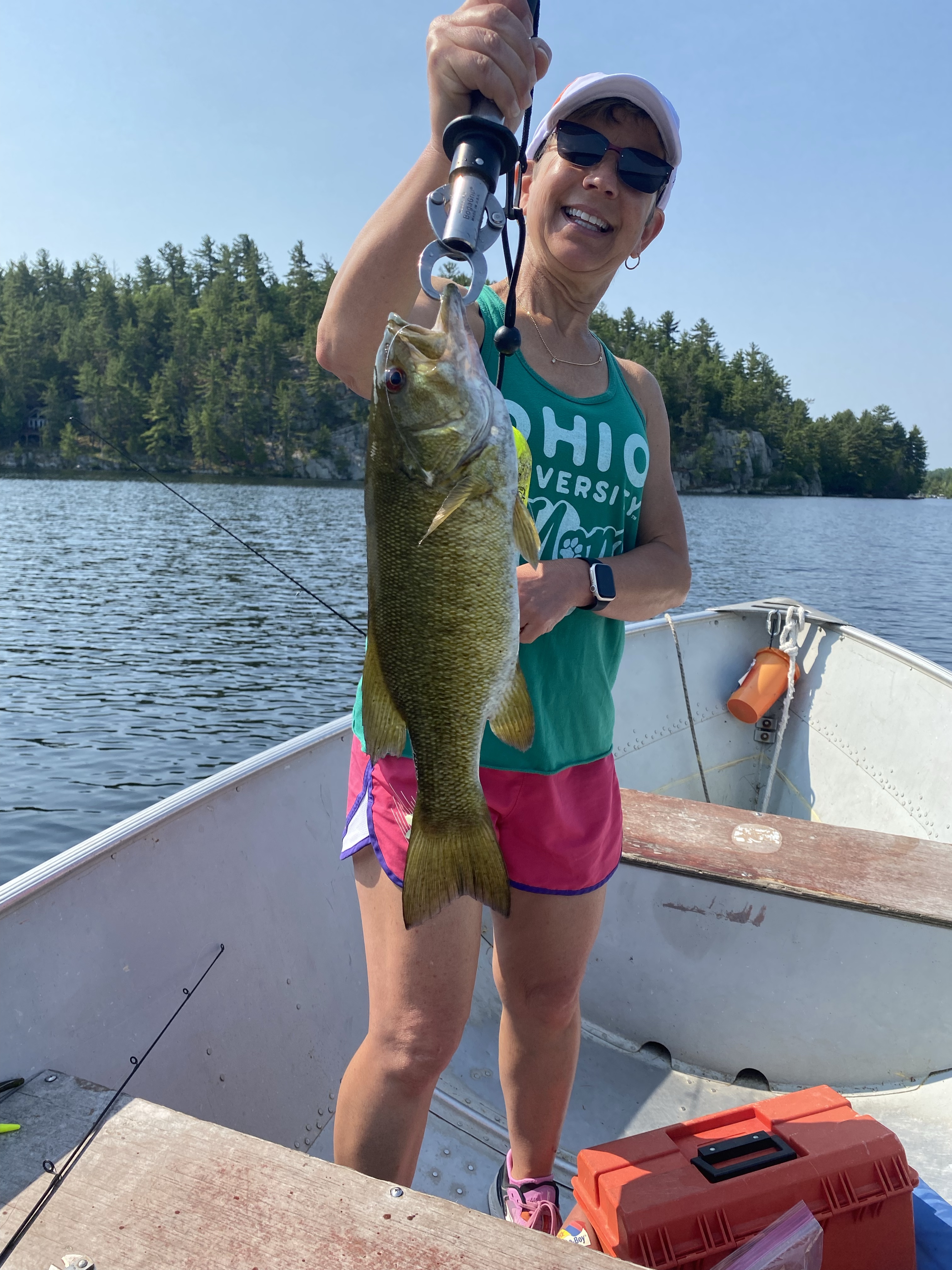
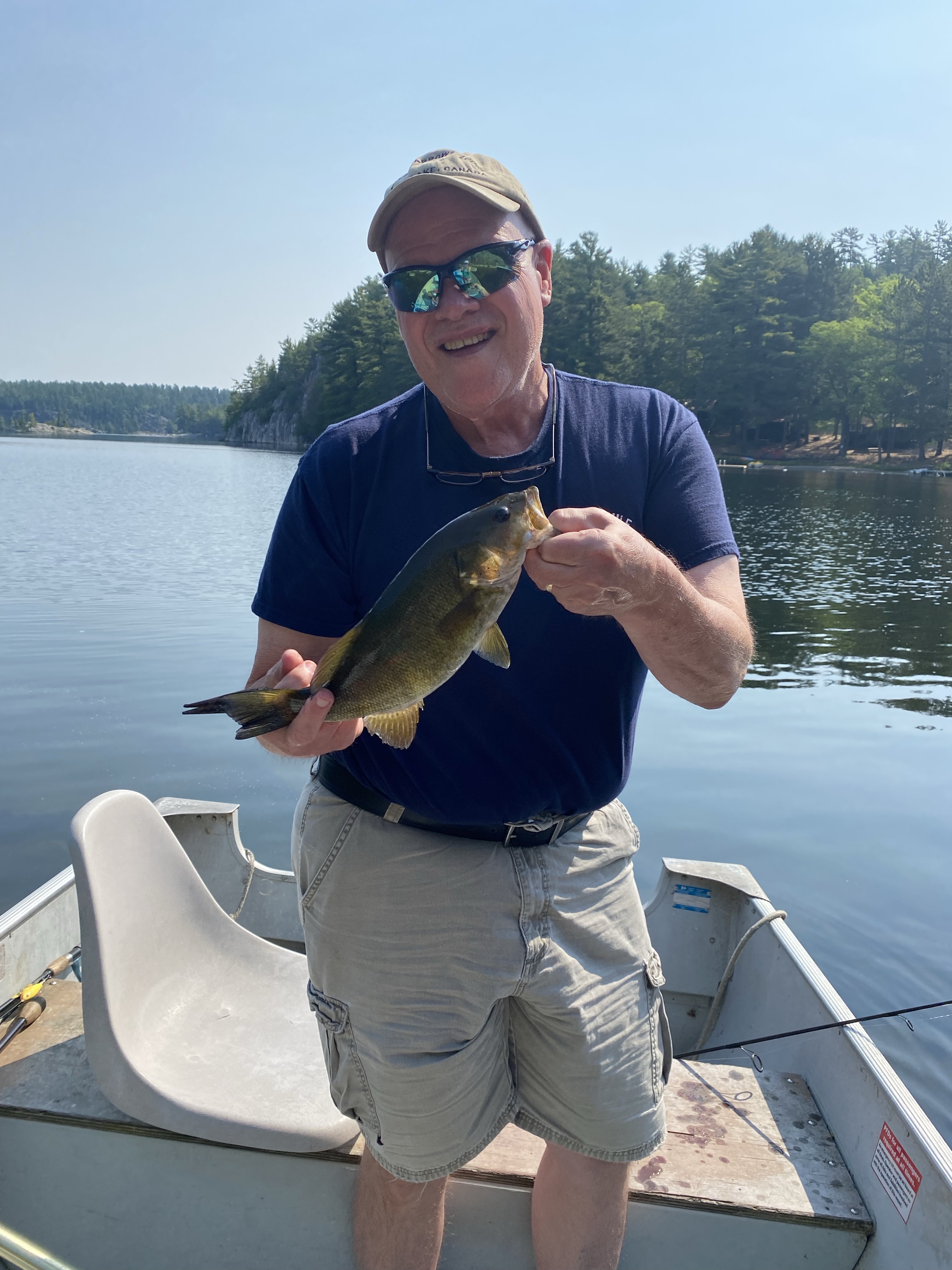
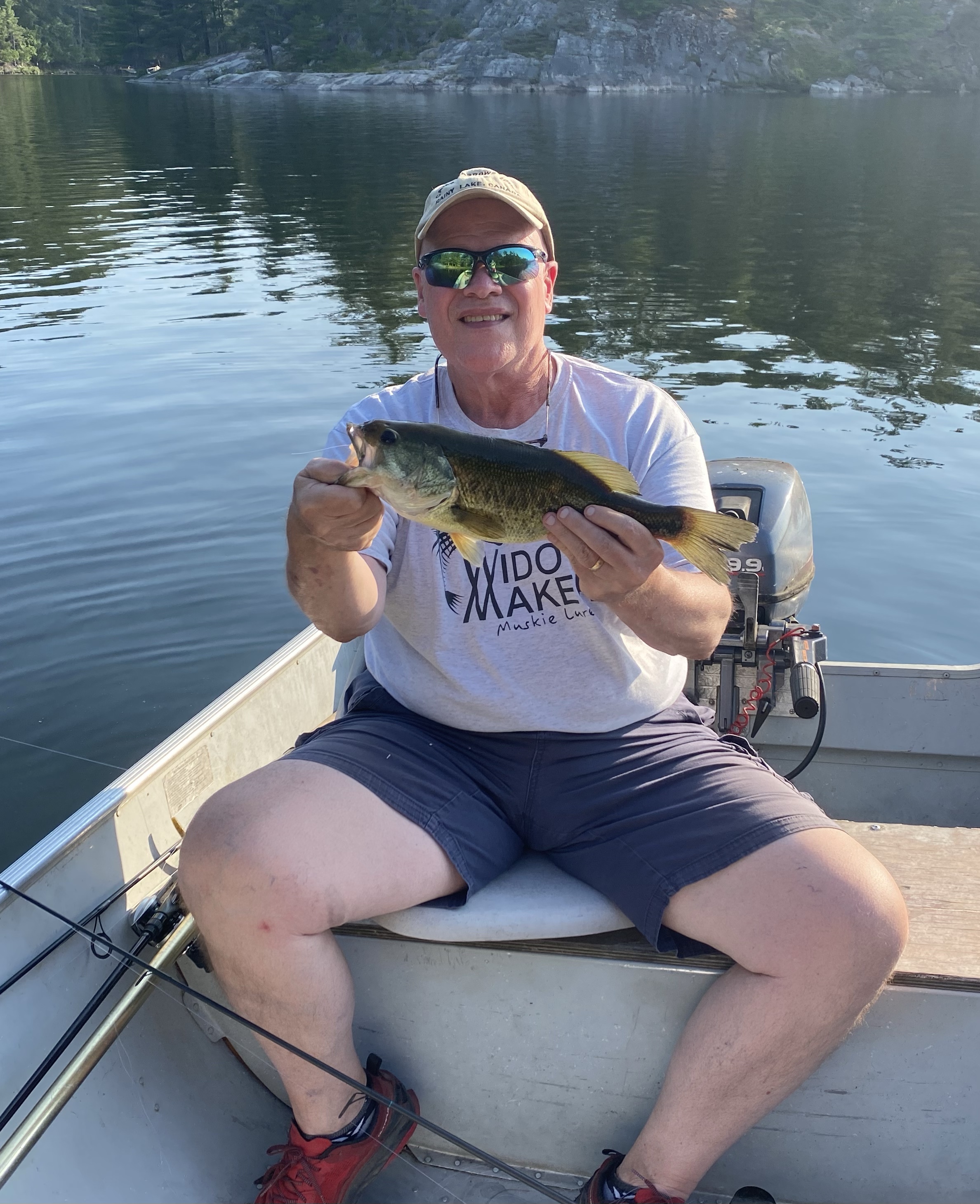
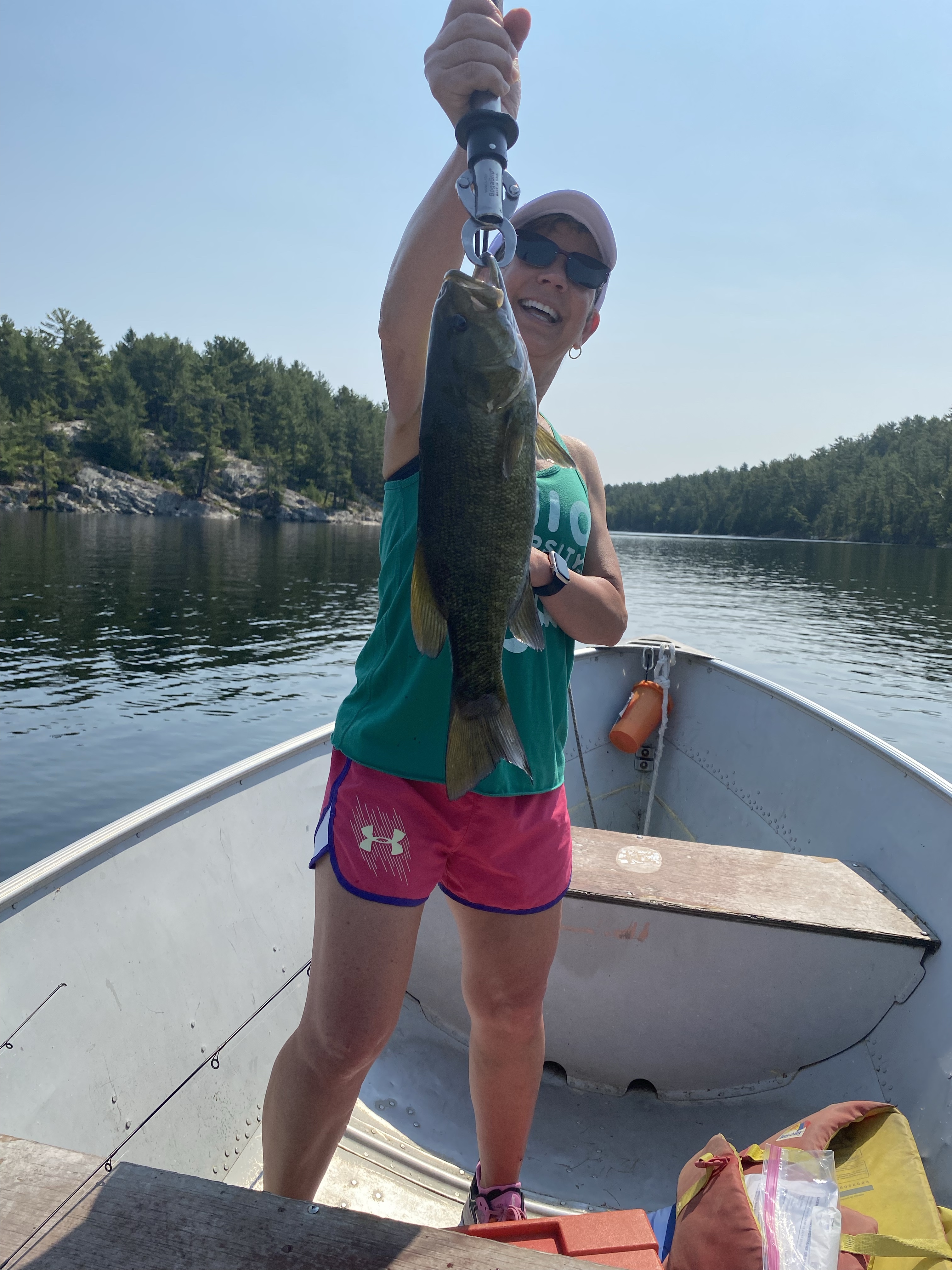
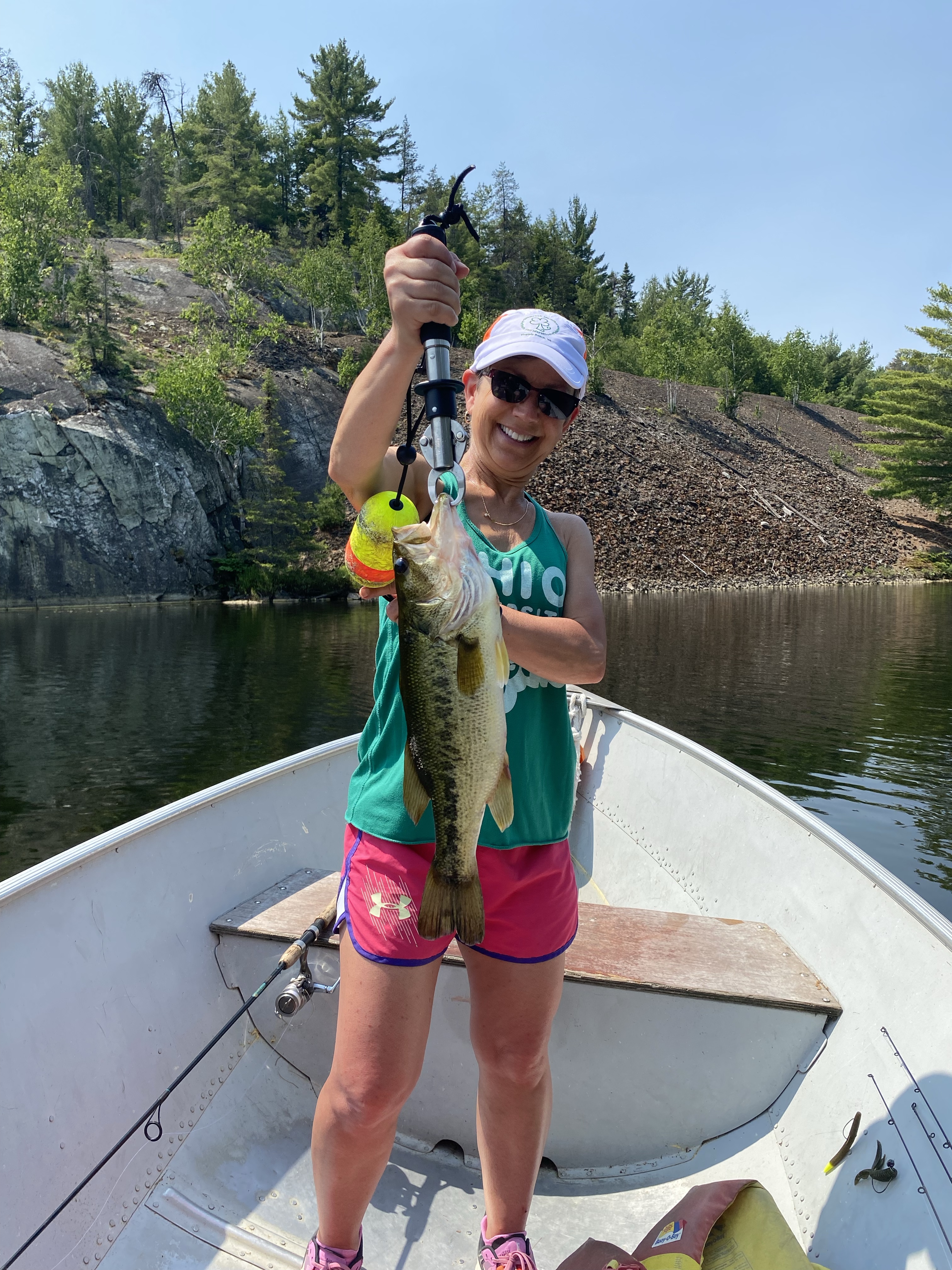
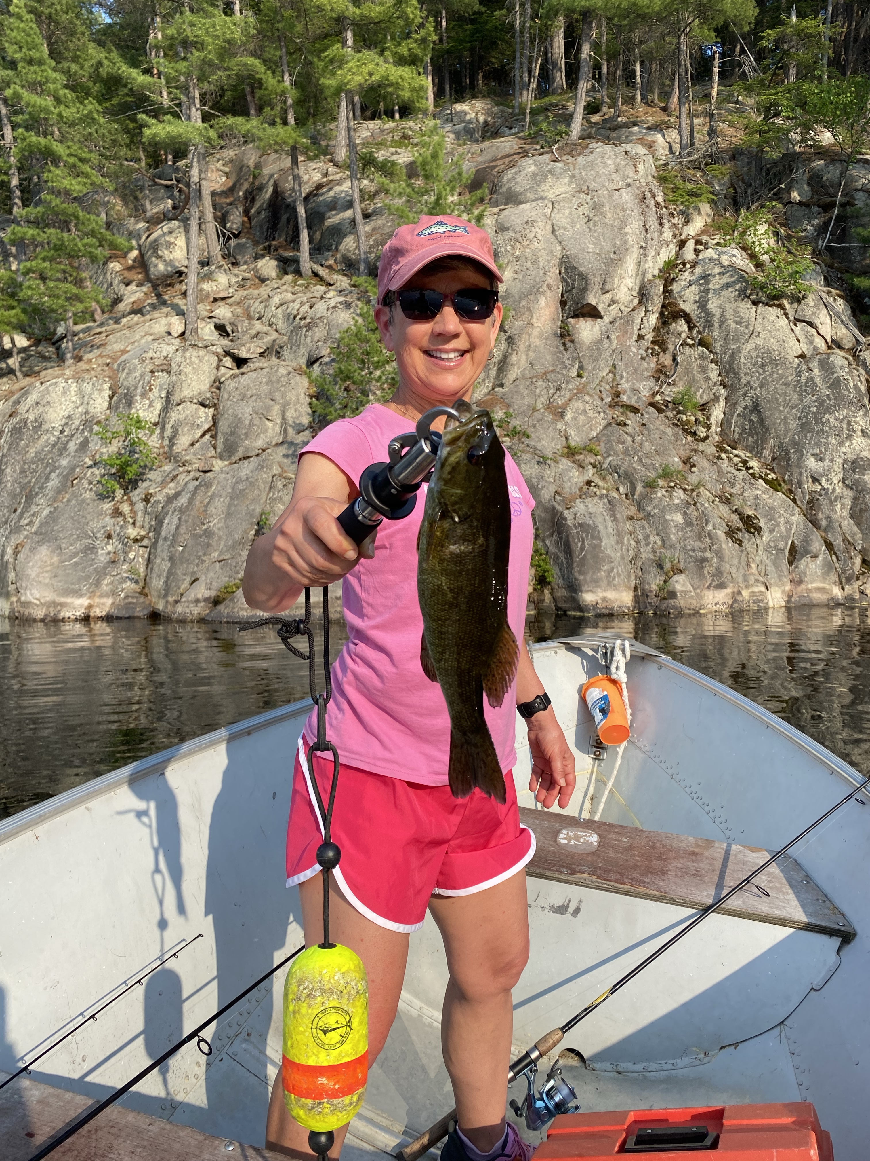
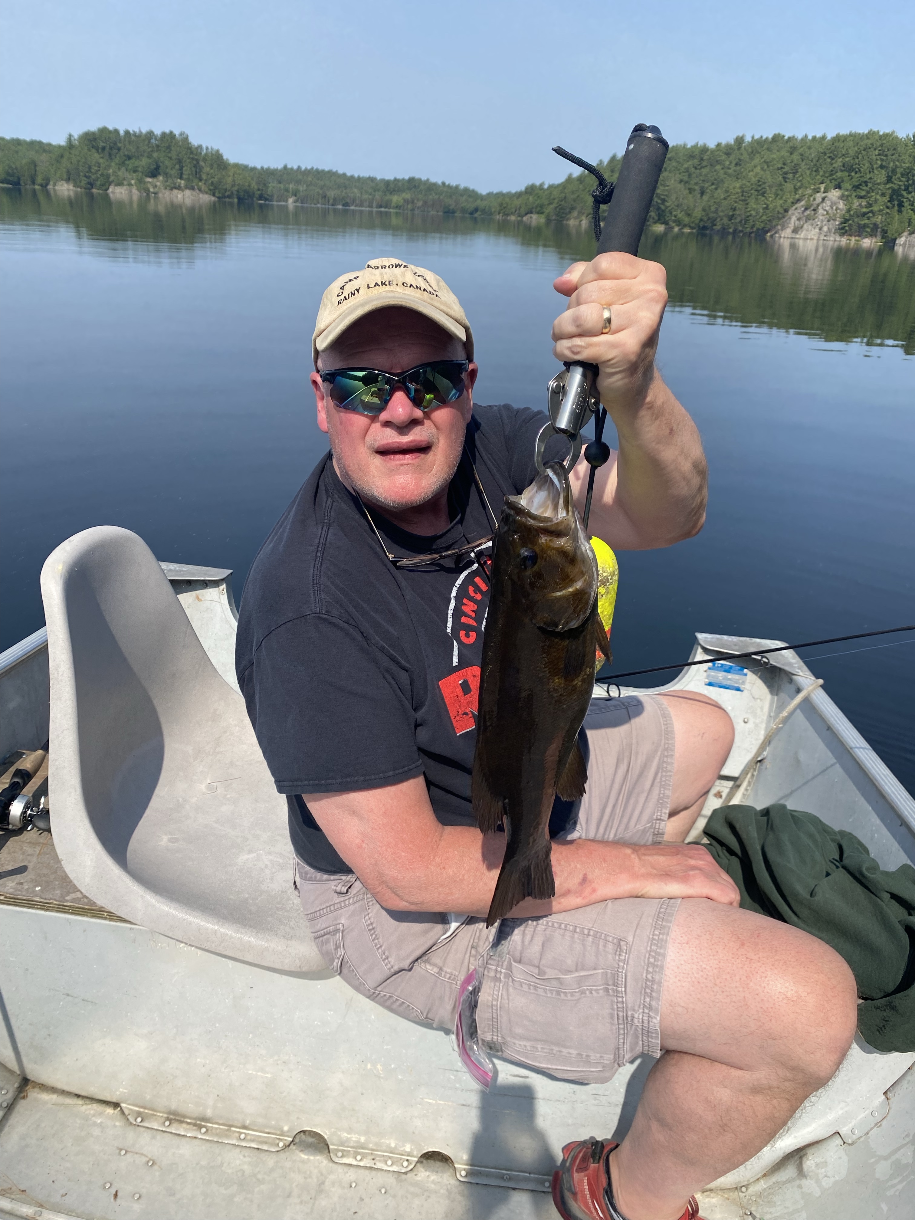
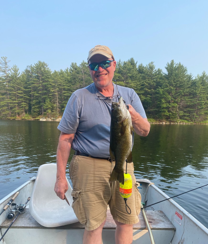
For those interested in fishing, Lake Charlton has access to over 1,700 connected acres of fishable lakes. Their waters are filled with northern pike, small and largemouth bass, walleye, and a wide variety of panfish. Of course, they can’t turn the fish on for visitors, but during the week John and I were there, we landed scores of large and smallmouth bass while a group of guys staying in a nearby cabin caught their legal limit of walleye and several sizable northern pike.
What about Boats?🛶
Visitors to the camp can bring their own boat; however, the camp offers a full fleet boats for rent, including 14’ Lund Aluminum fishing boats, three pontoon boats, as well as 16’ and 18.5’ tripping canoes. All boats come with 9.9 Yamaha motors, and every cabin has its own private docking slip. John and I merely stepped off the porch of the cabin in which we were staying and walked down a slight embankment directly to our dock. The docking was sturdy and easy; plus the camp had an excellent launching ramp to get to and from the camp.

For those who like to keep and eat their fish, Charlton Lake Camp has a centrally located fish cleaning hut. It is well lit, screened-in, and it even has outlets for those who prefer to use electric fillet knives. I noticed several campers using this hut throughout the week.
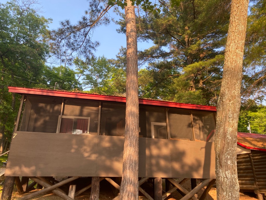
Accomodations🏡

Charlton Lake Camp is made up of twelve symmetrically arranged cottages with one, two, or three bedrooms, and all have one bathroom. Every cabin faces the lake, a point John and I loved, and each one has its own tightly screened porch. The kitchens are well-equipped with all of your cooking and eating needs. There is also a propane BBQ and picnic table for each cabin. Most of all, Dan and Lisa work hard to ensure their cottages are scrubbed clean for your arrival, hence a 9:00 am check out time, and they even have their cabins treated monthly for pests. As an added bonus, the camp’s water goes through a multi-step filtration process, and it is completely potable–no funny smell or weird taste, just pure, clean water.
Just splashing about🏊♀️

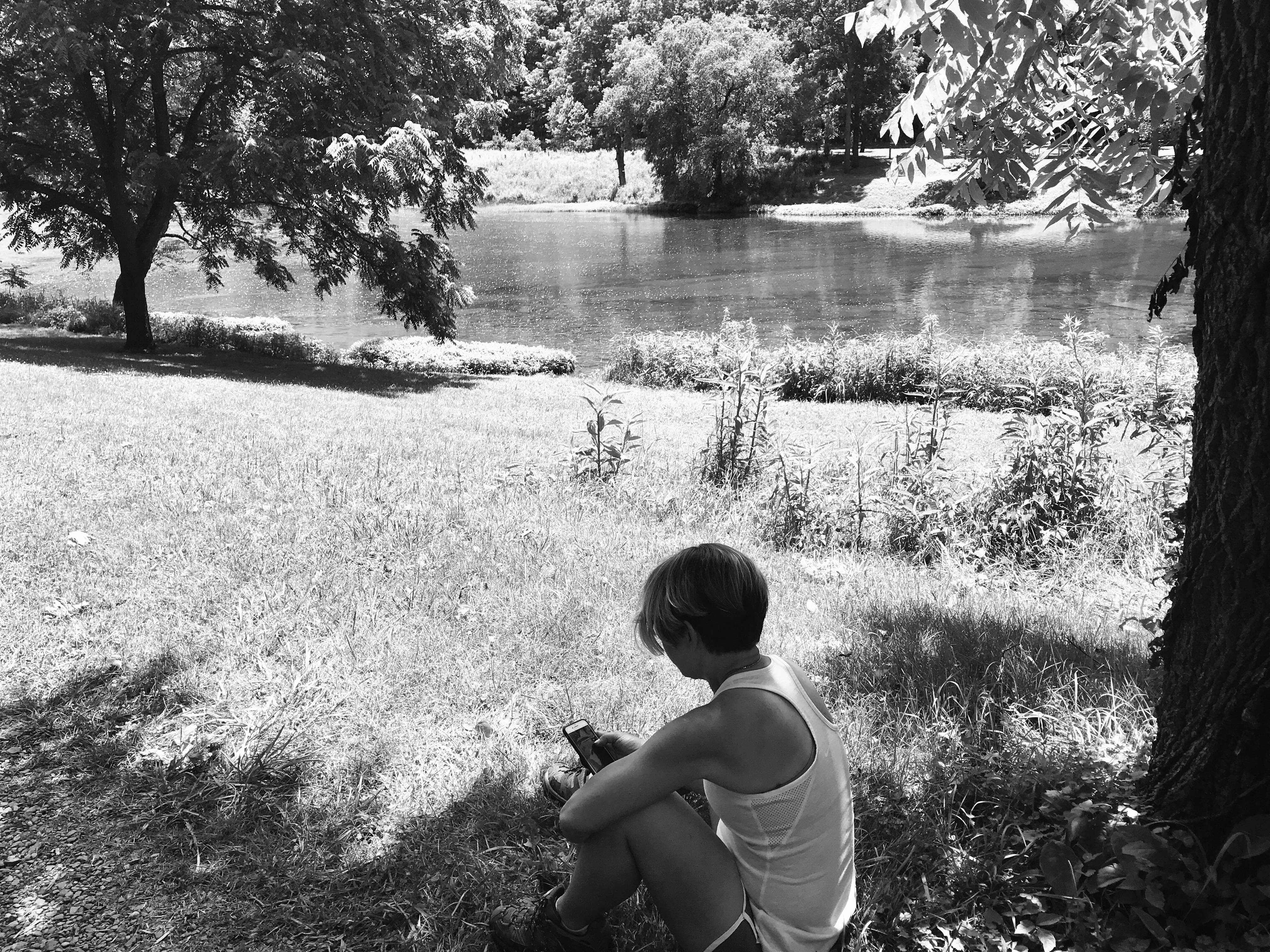
For those who love to splash about, the camp has a roped off area for swimming with its own private sandy beach. There is a swim platform for those cannonball splashes, and there are plenty of Adirondack style chairs for drying off or simply lounging about the water’s edge. The swim area is centrally located in the camp making it easily accessible for those quick trips back to the cottage for snacks, beverages, or that bottle of sunscreen you may have forgotten.
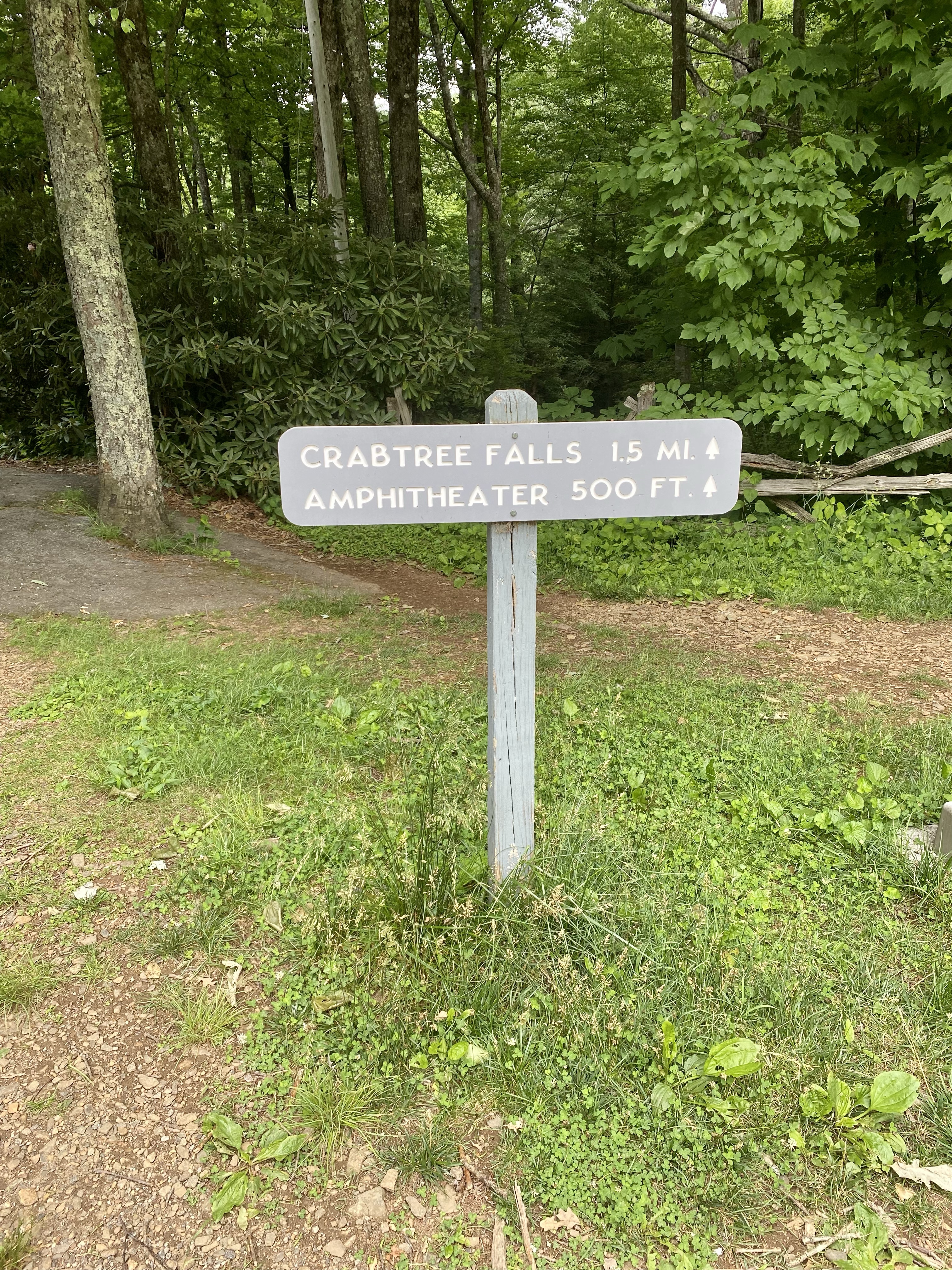
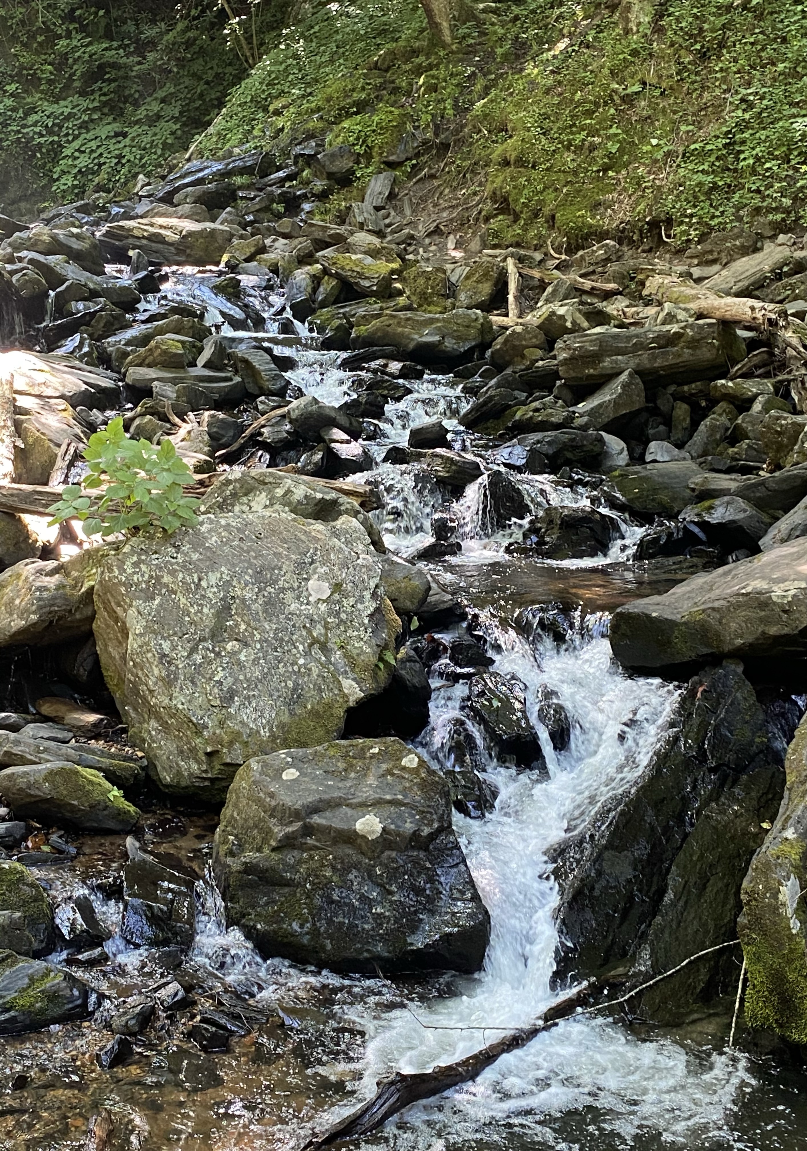
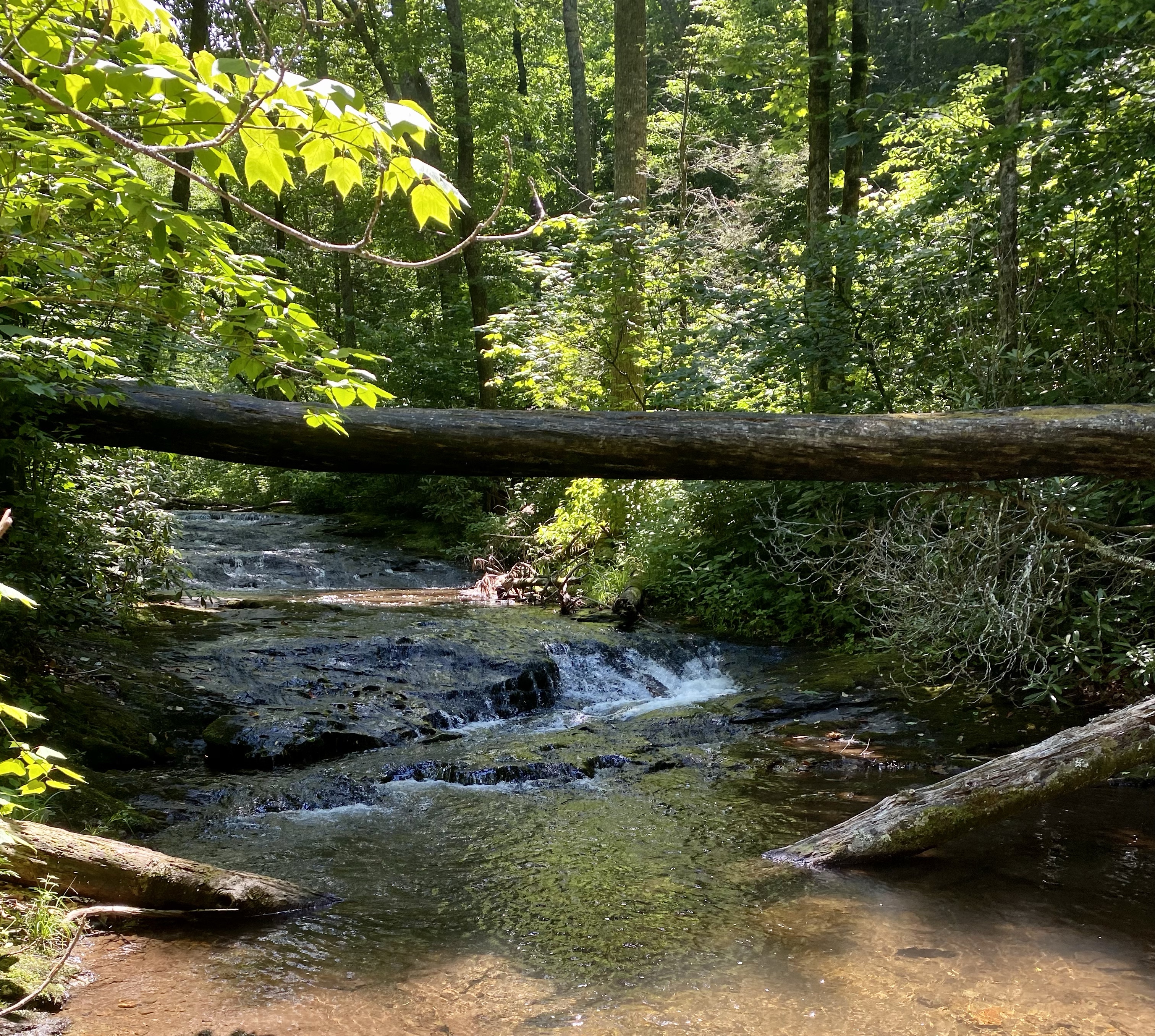
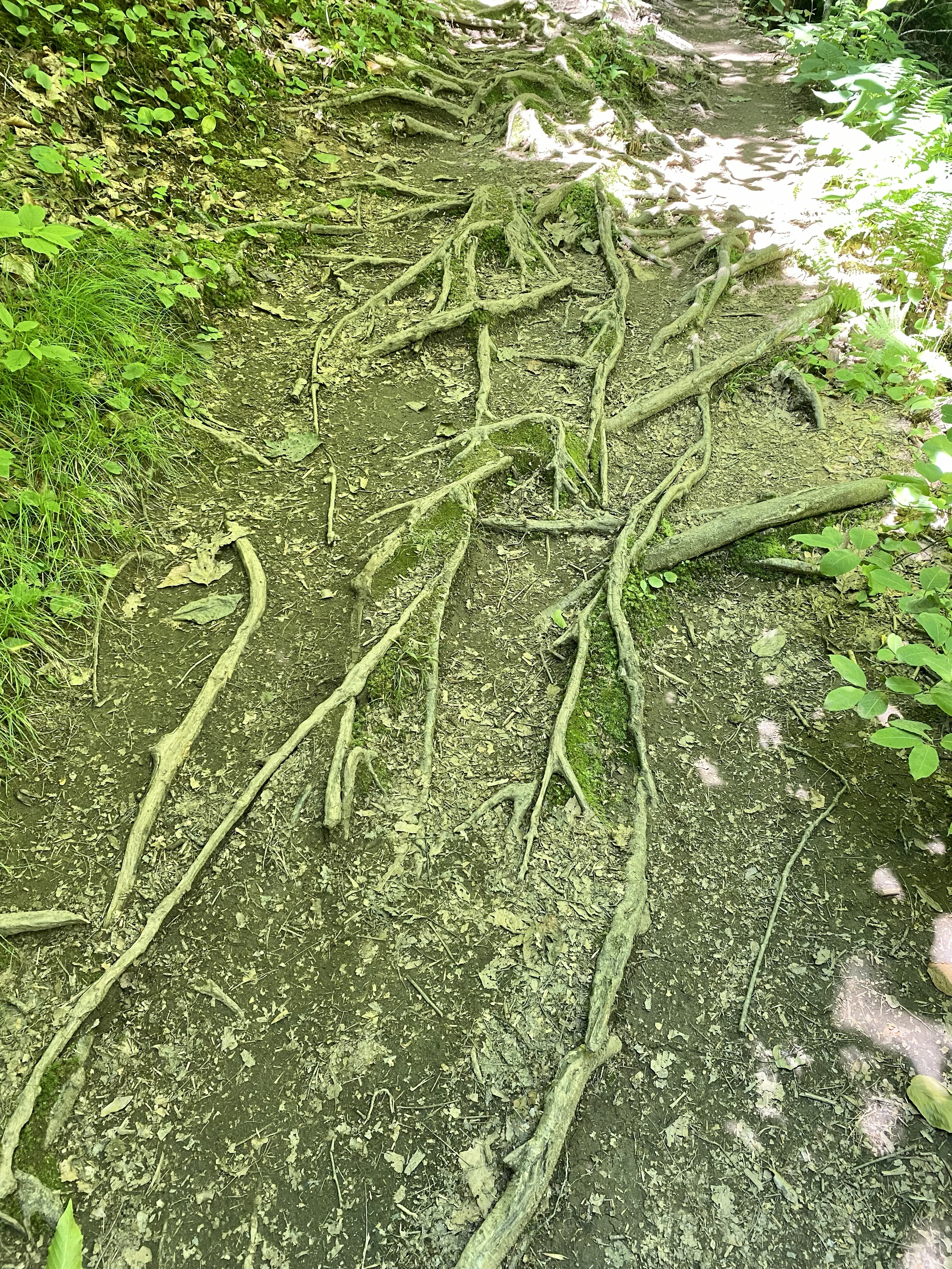
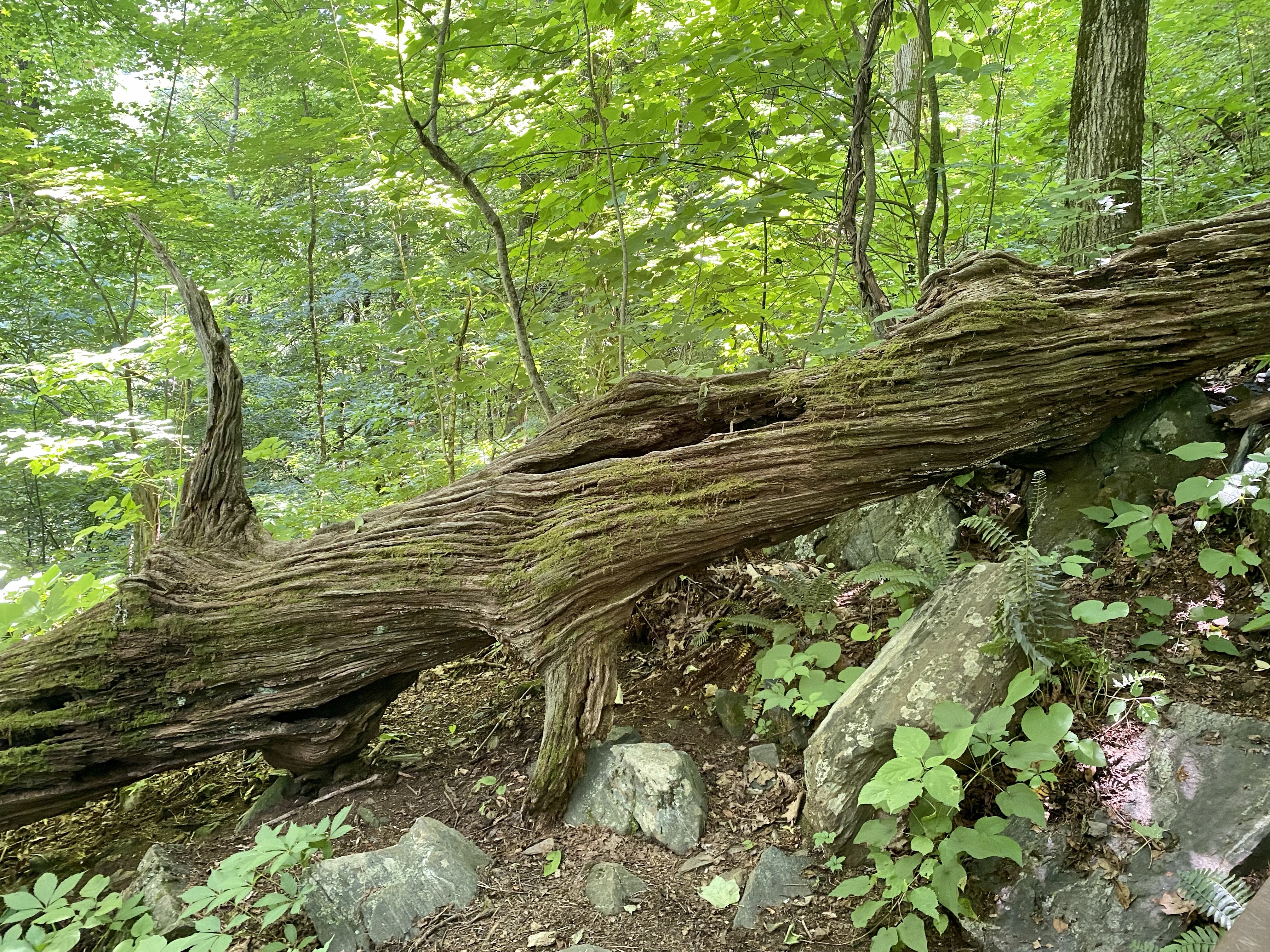
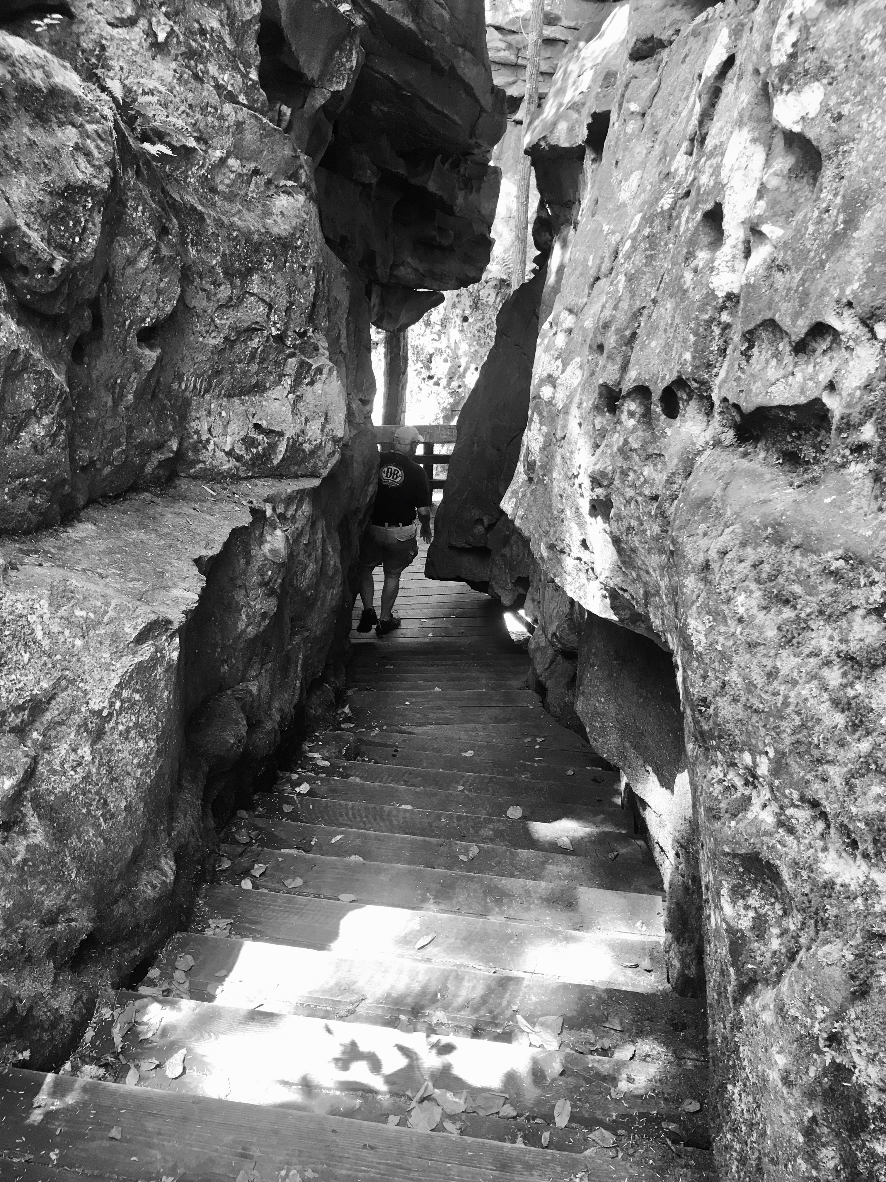
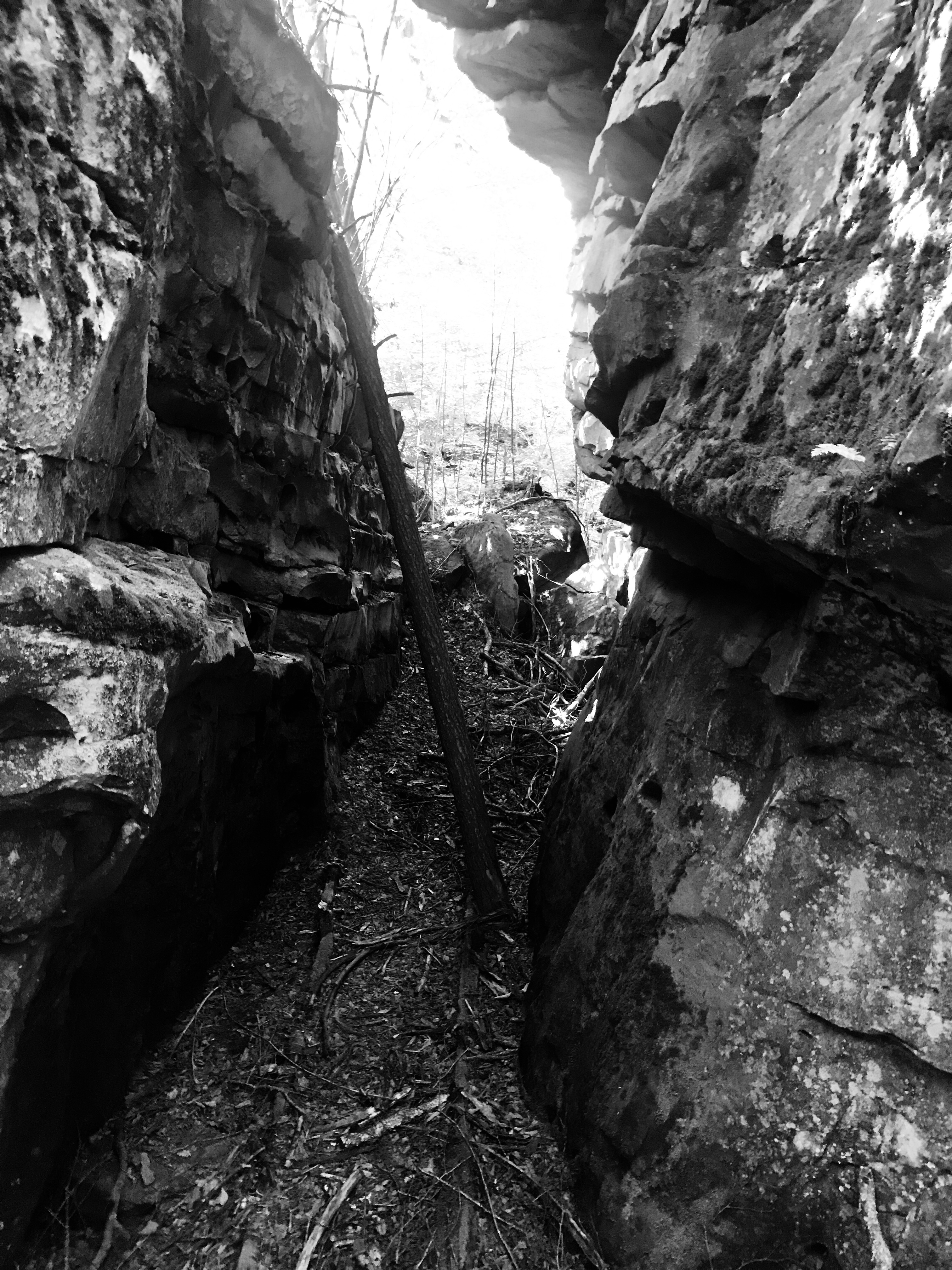
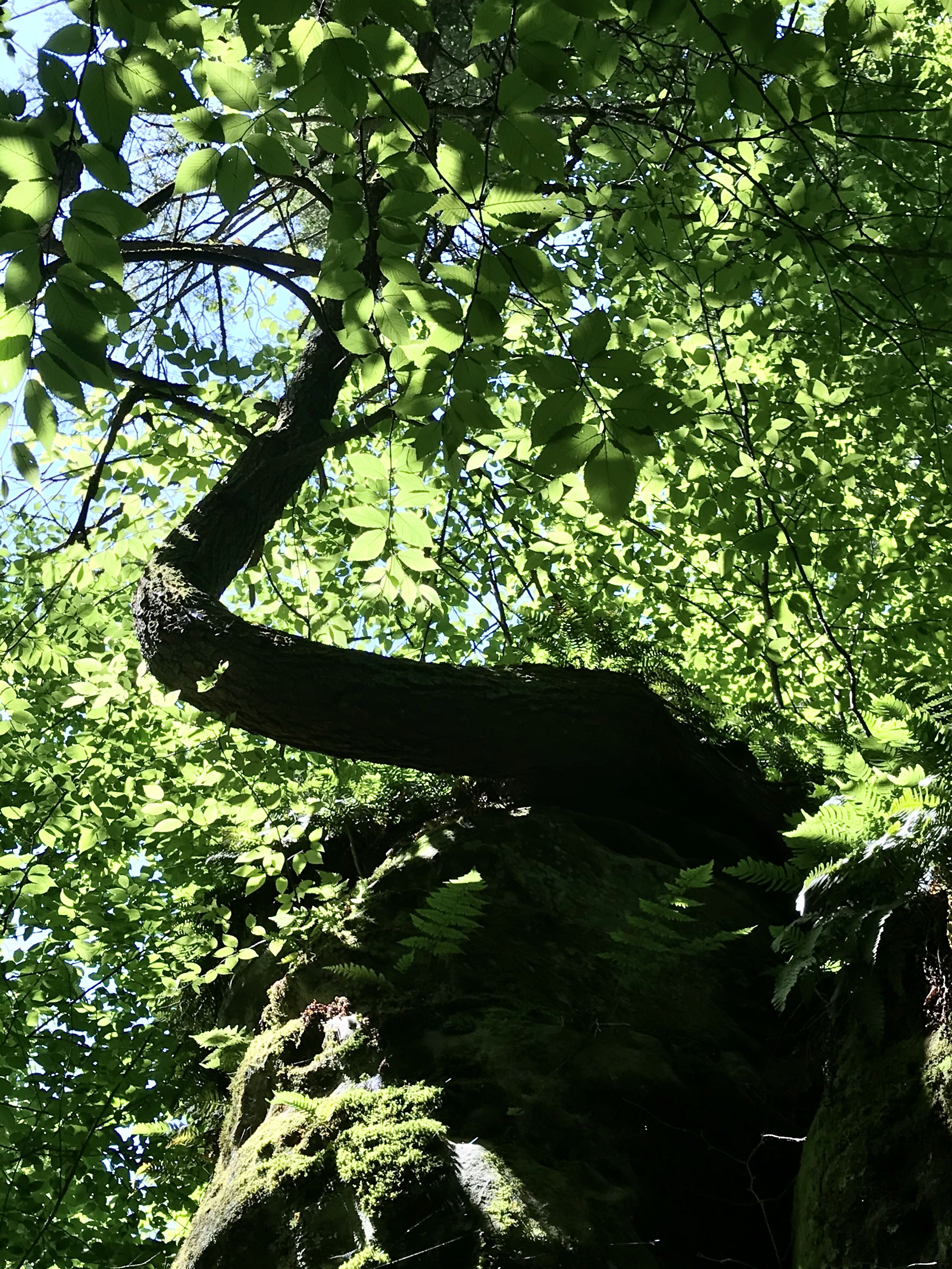
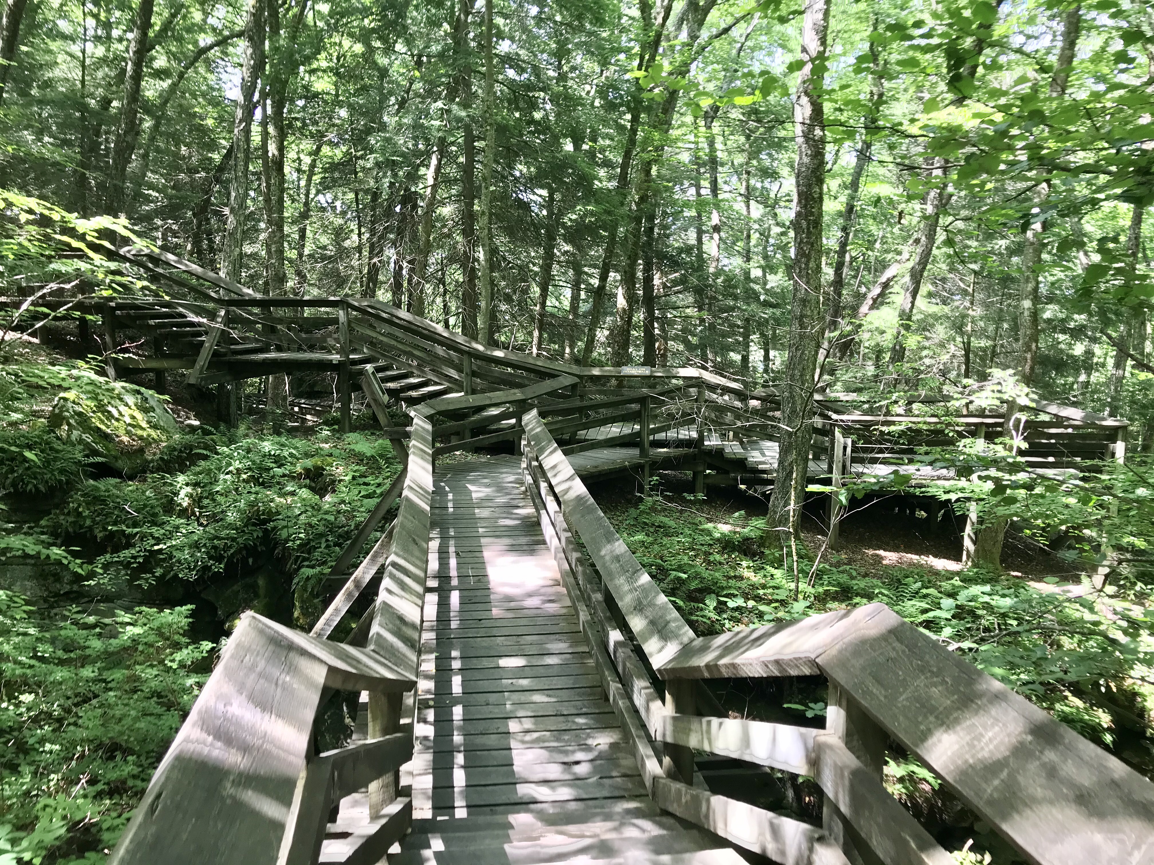
Want to Hike?🥾

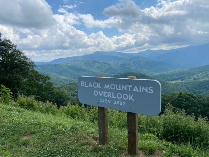
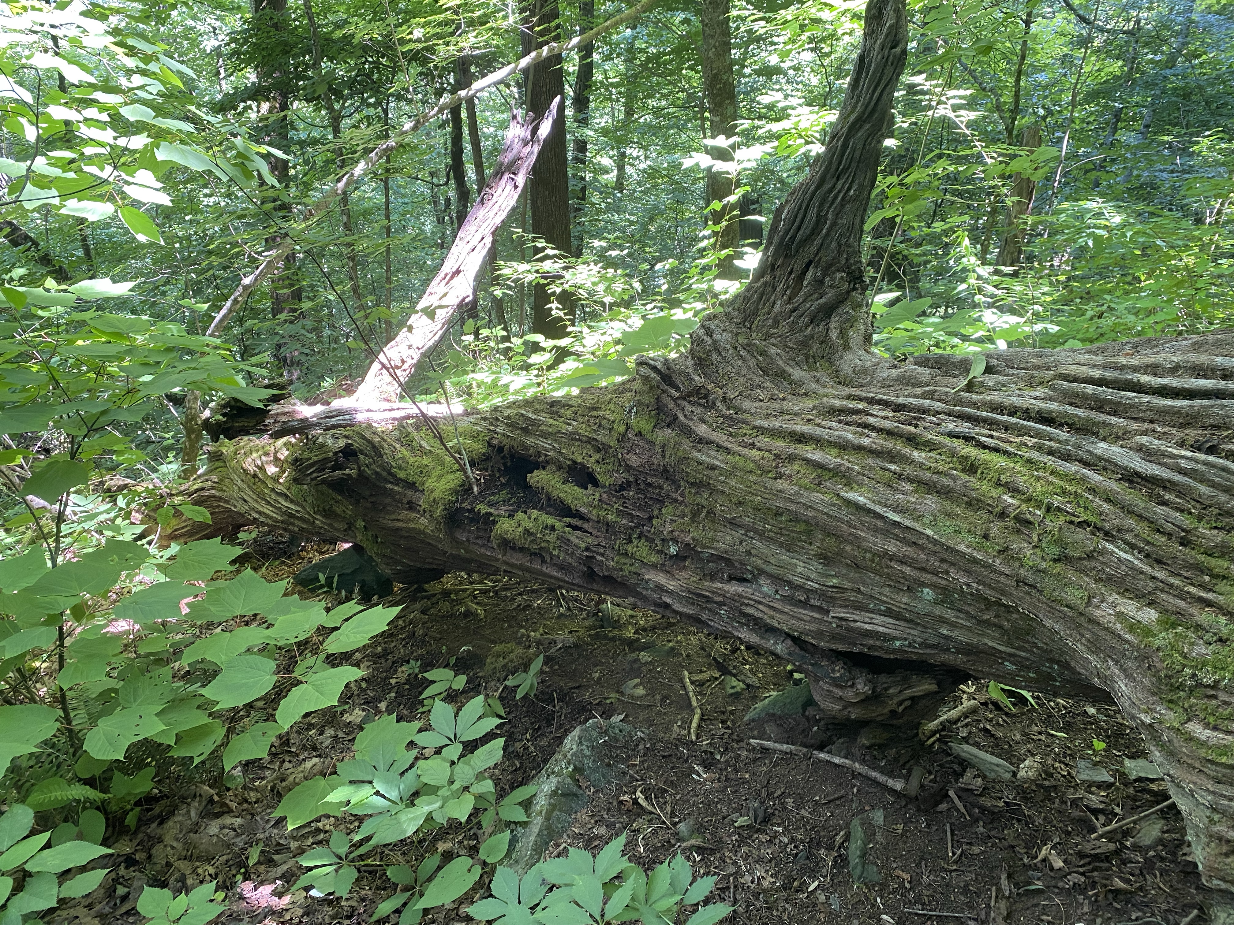
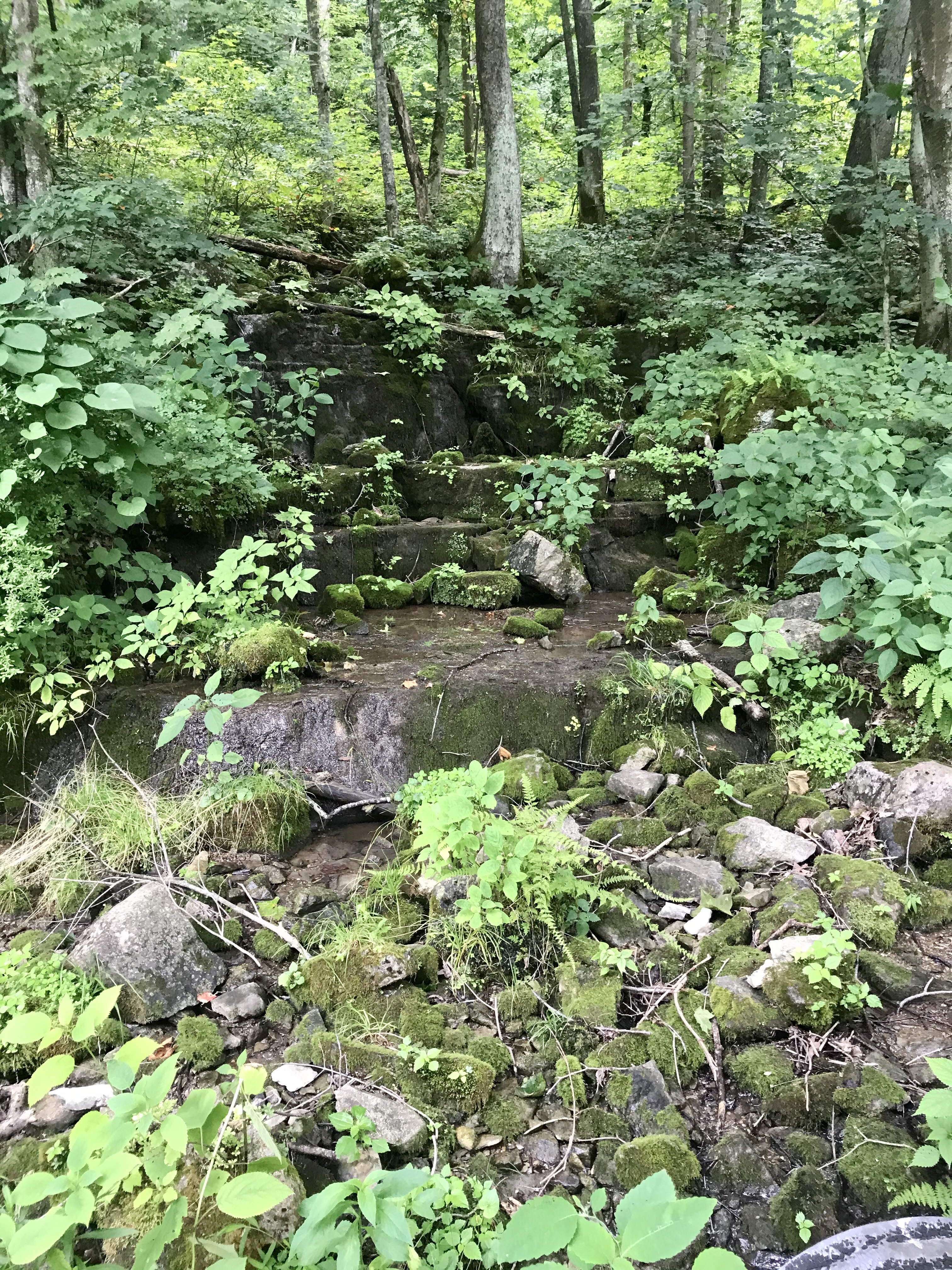
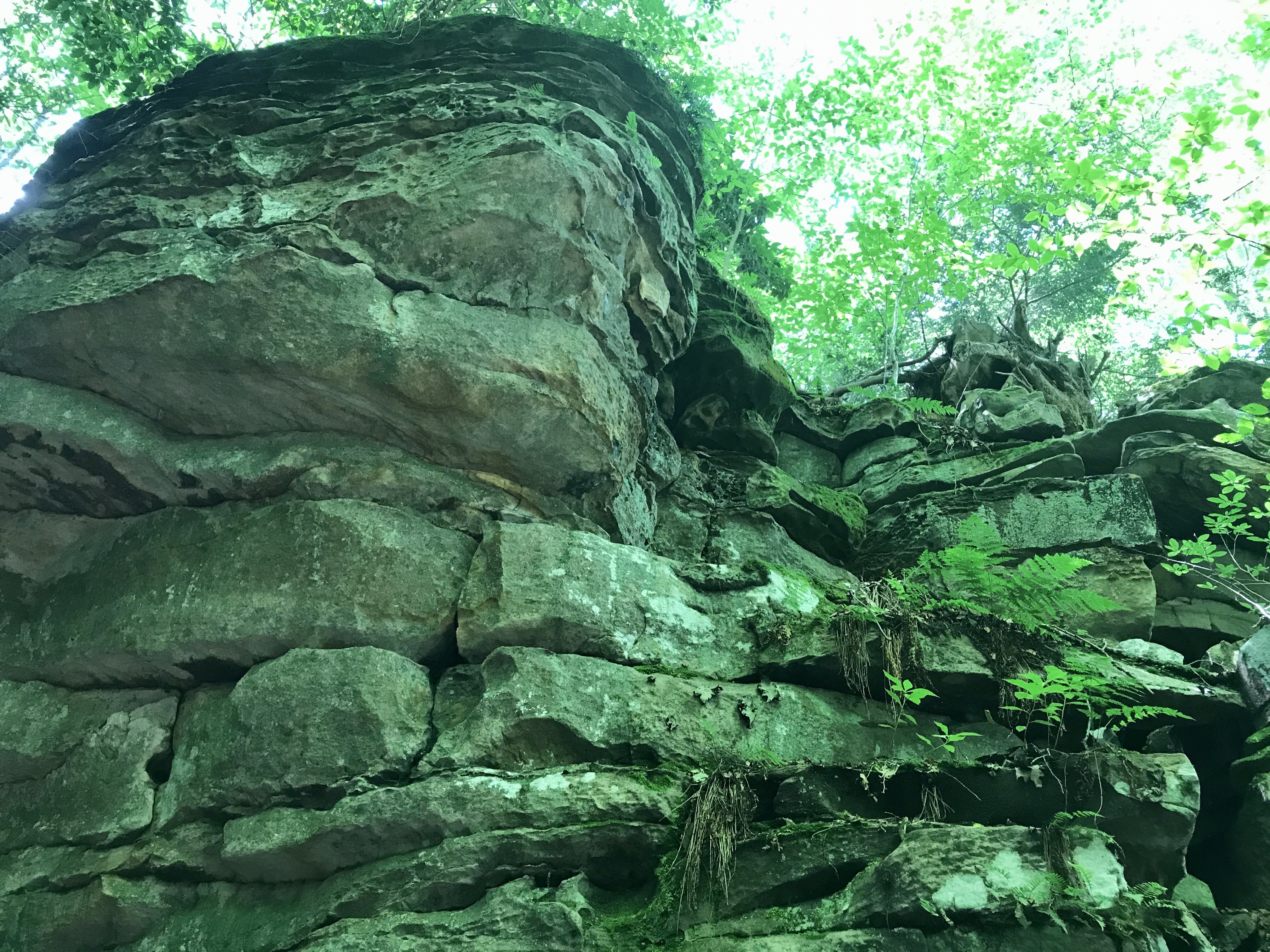
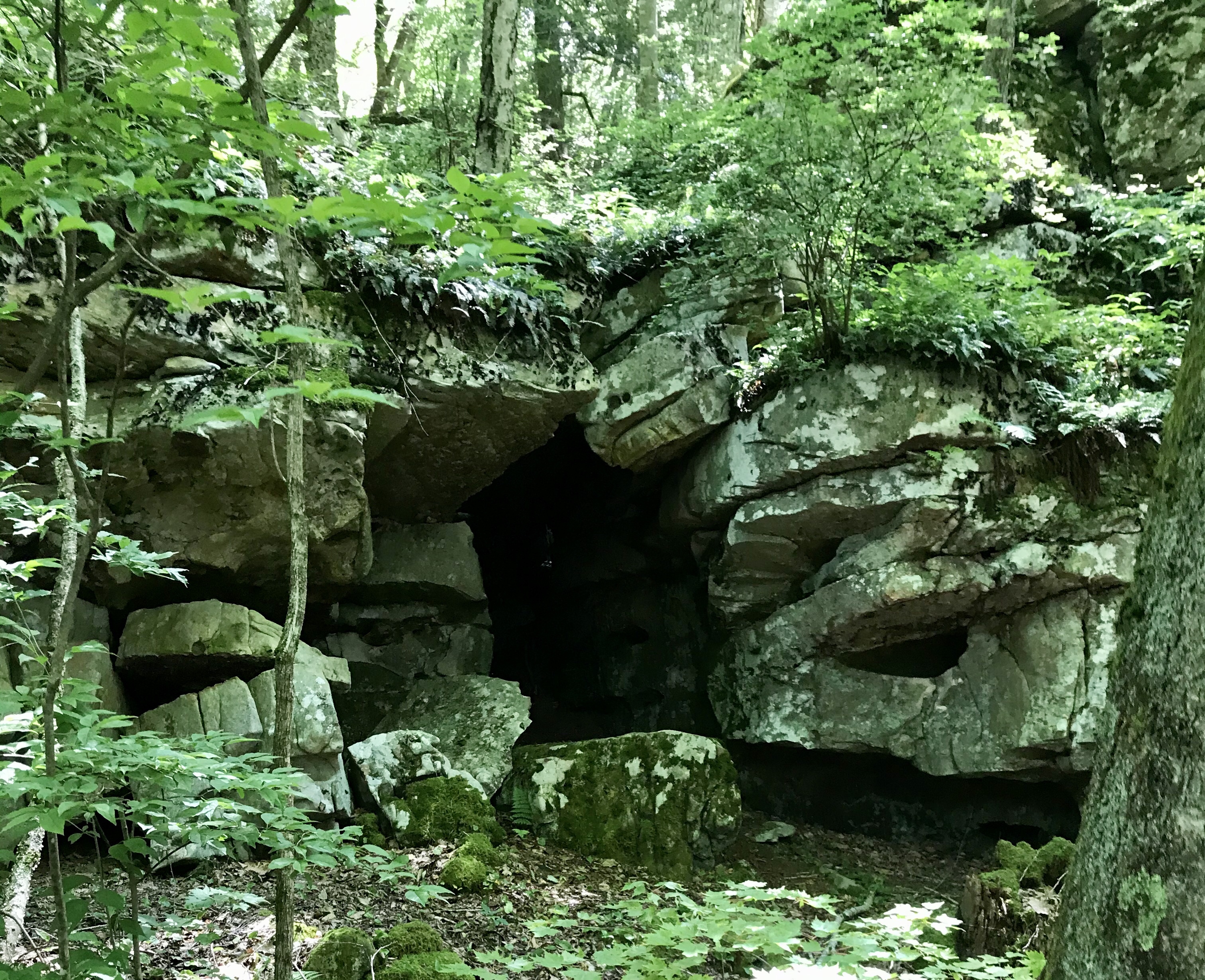
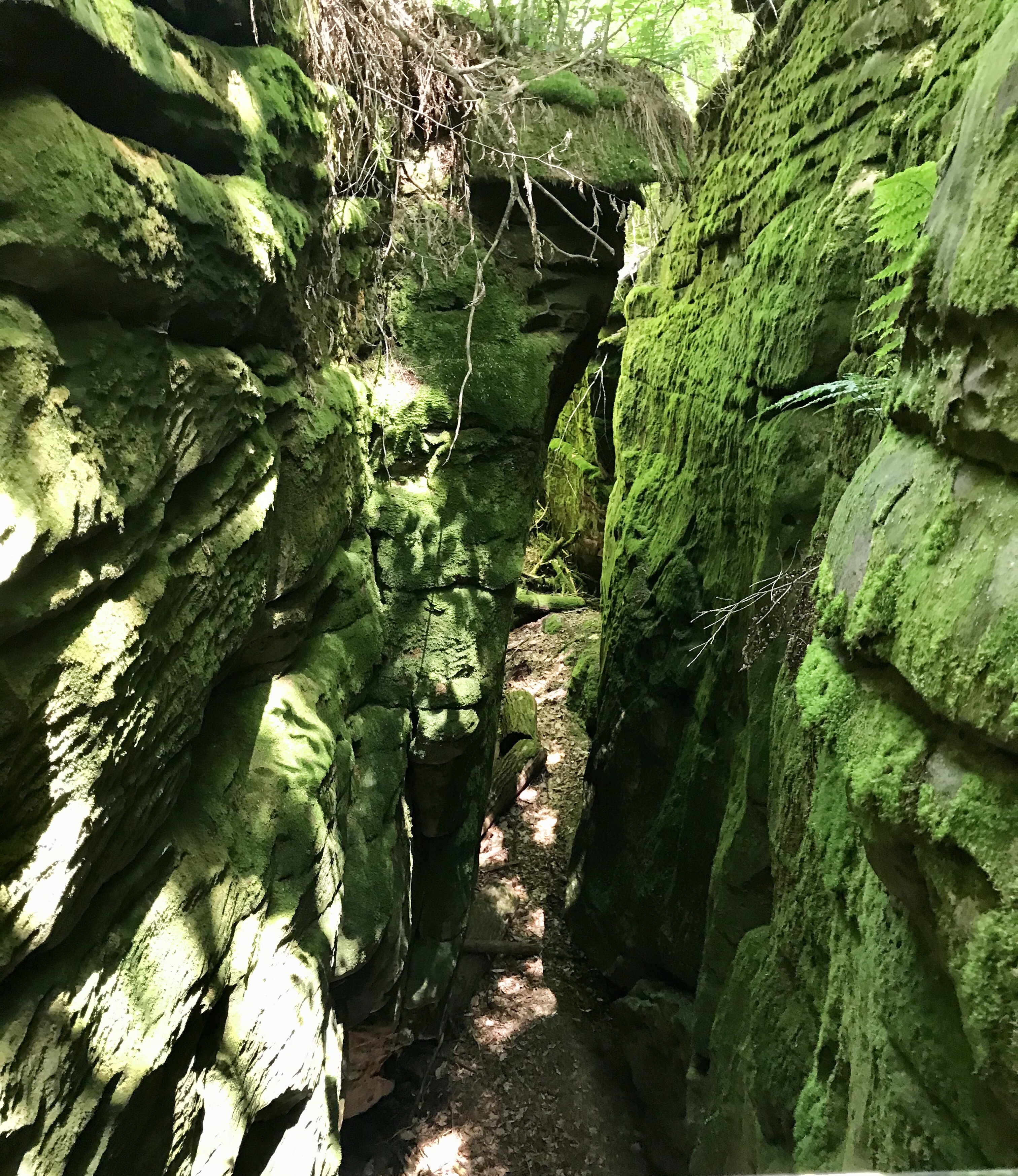
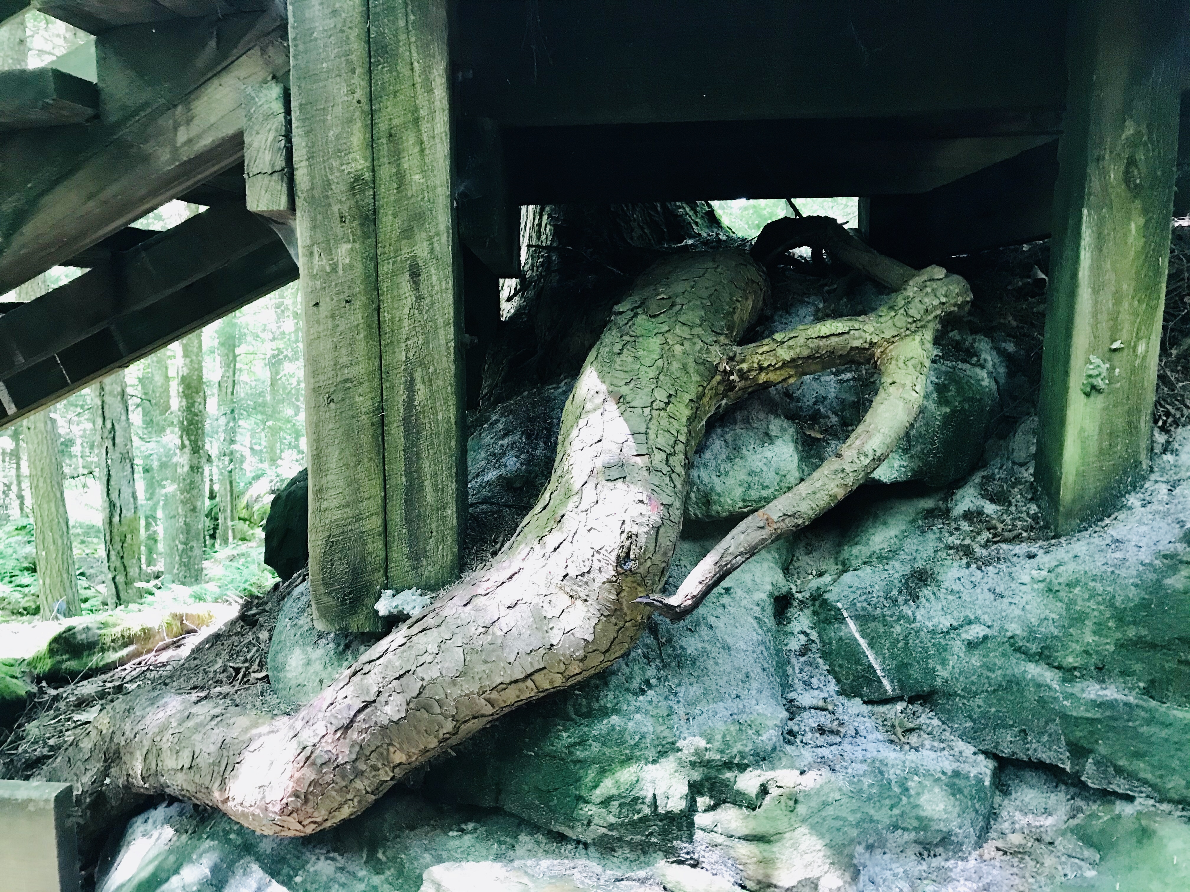
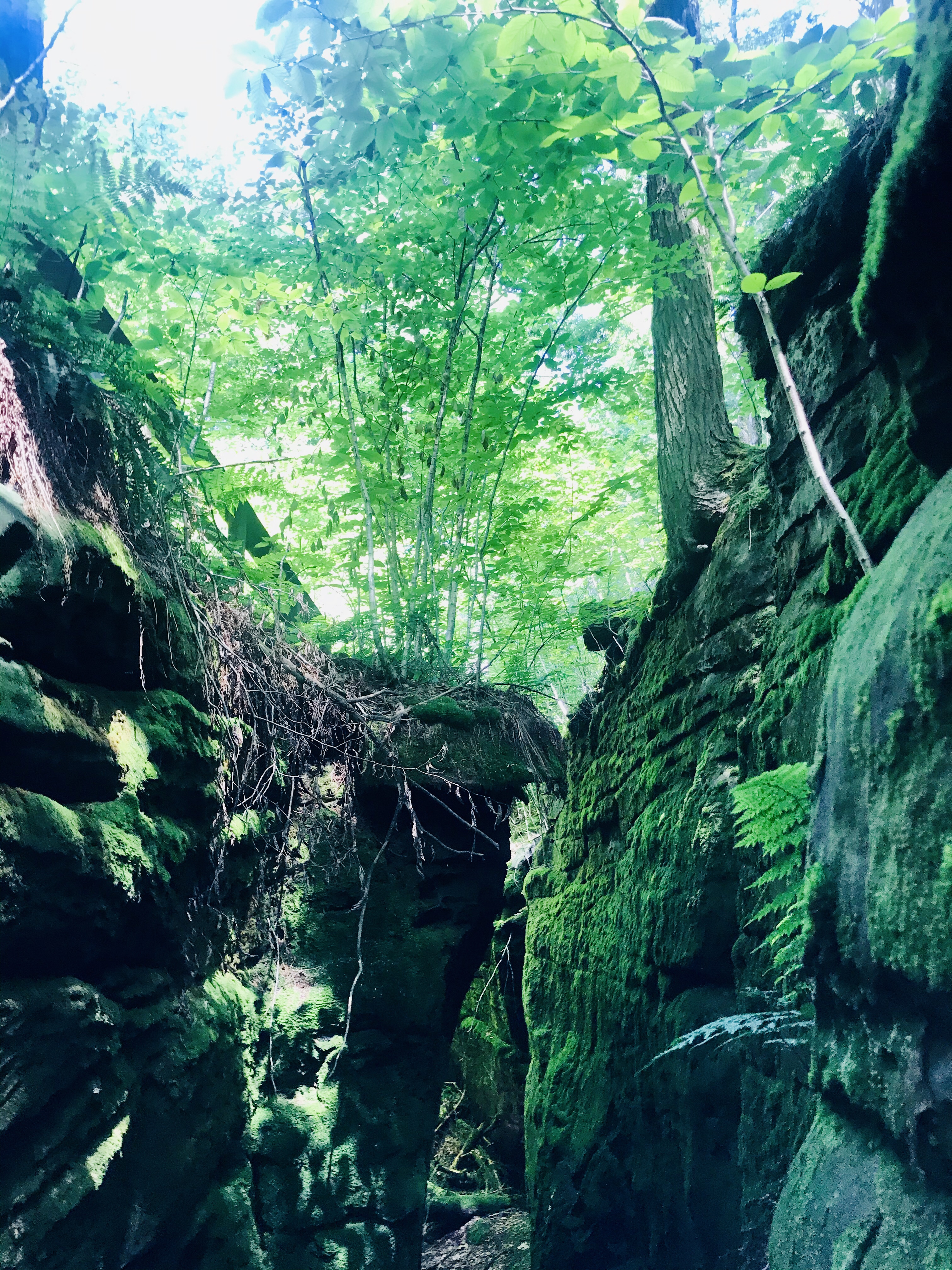
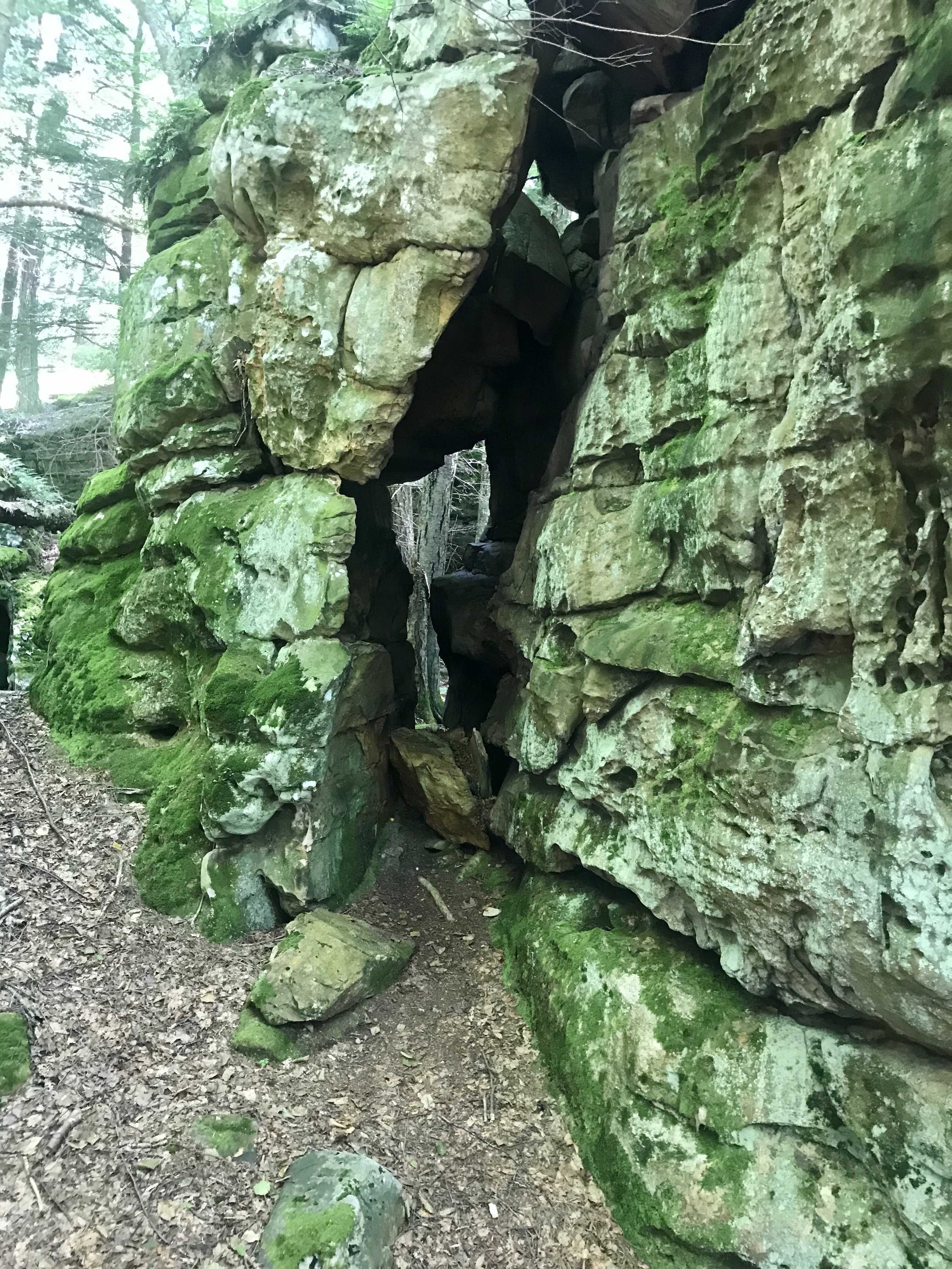
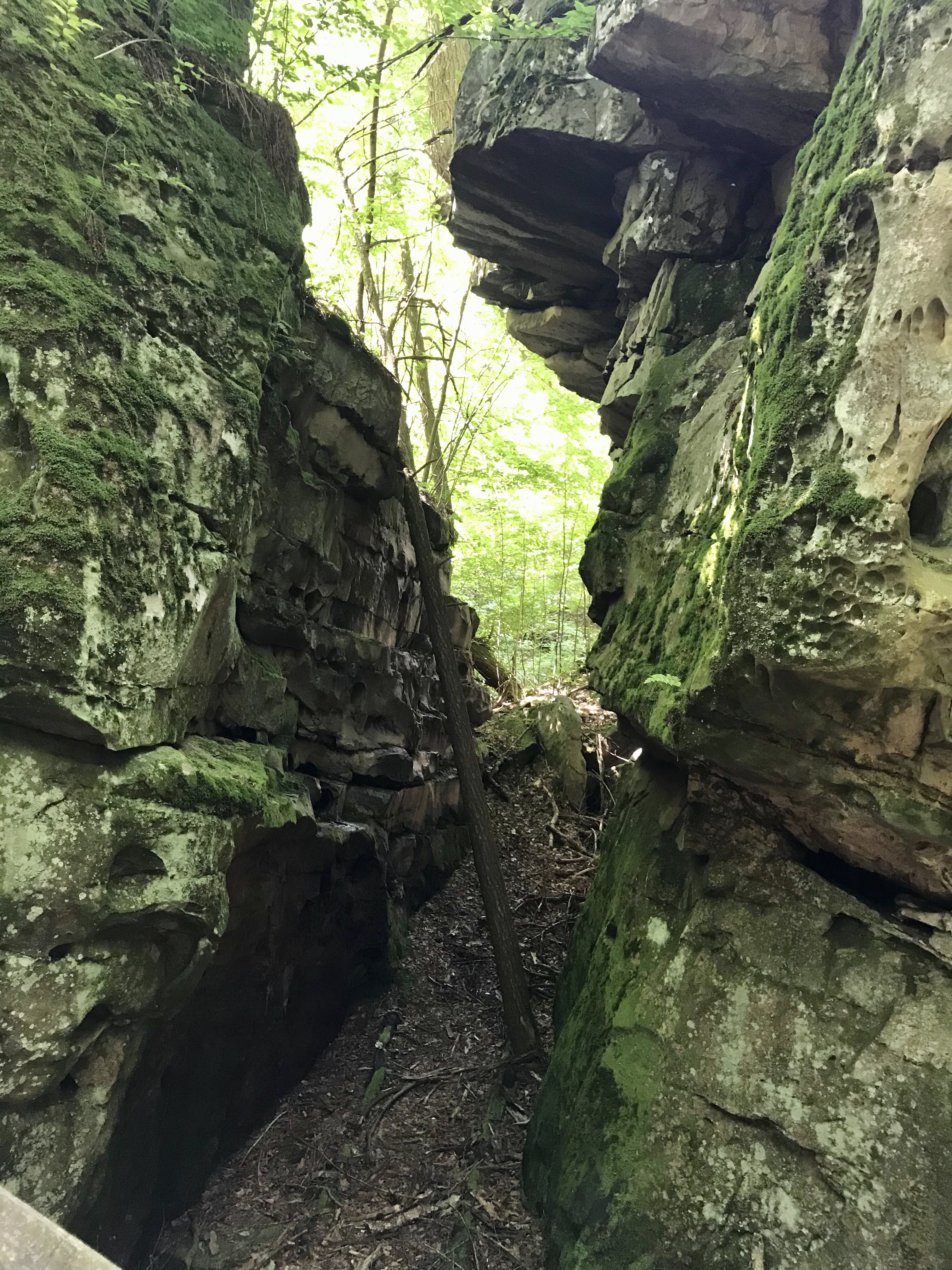
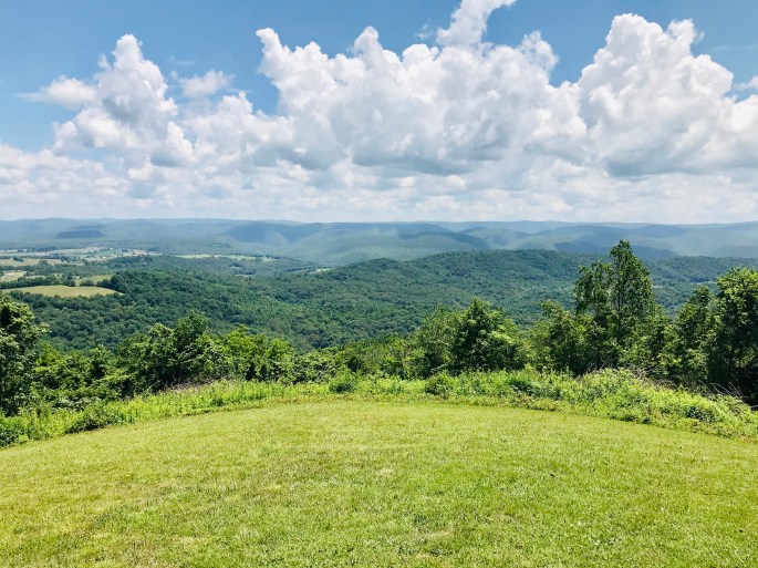
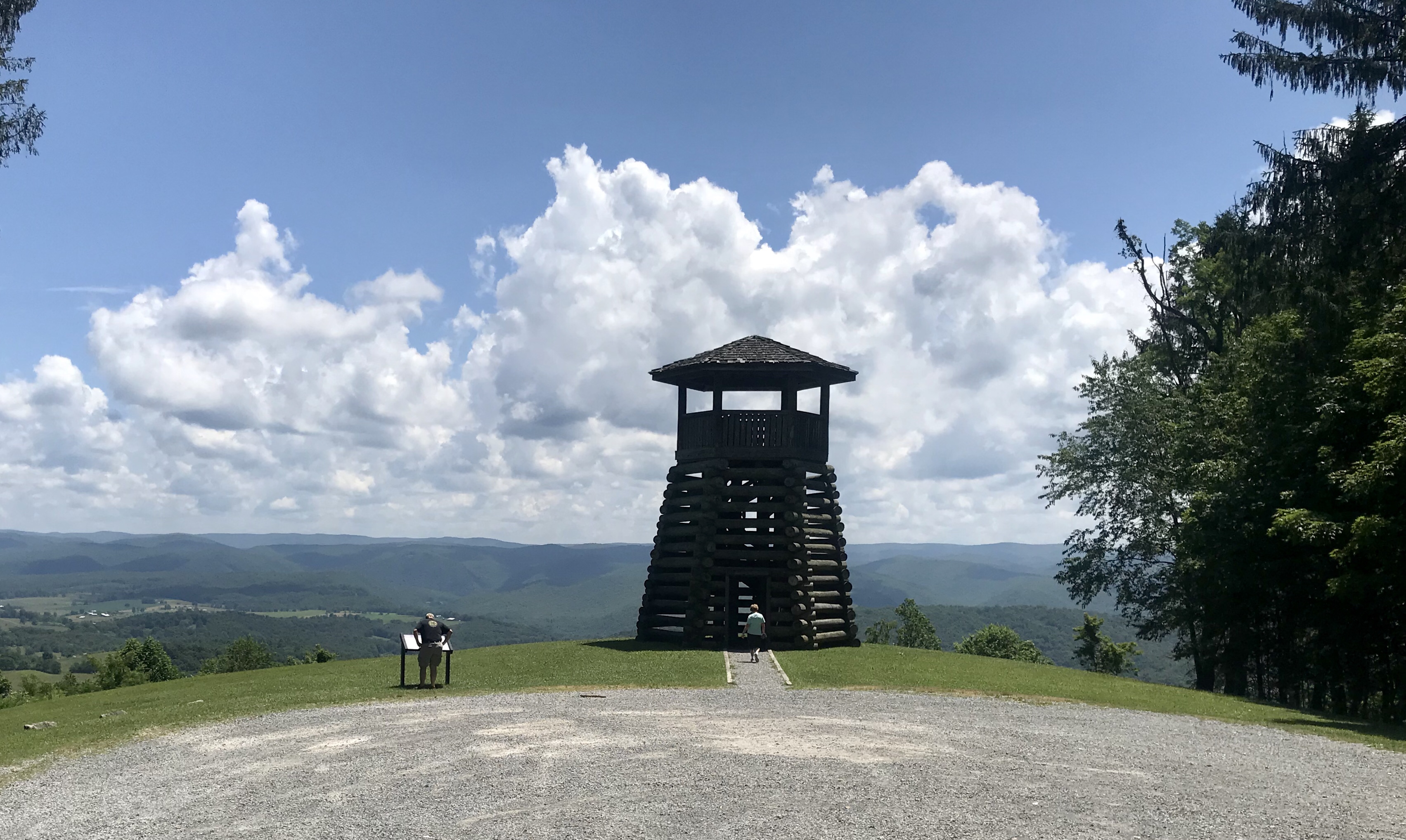
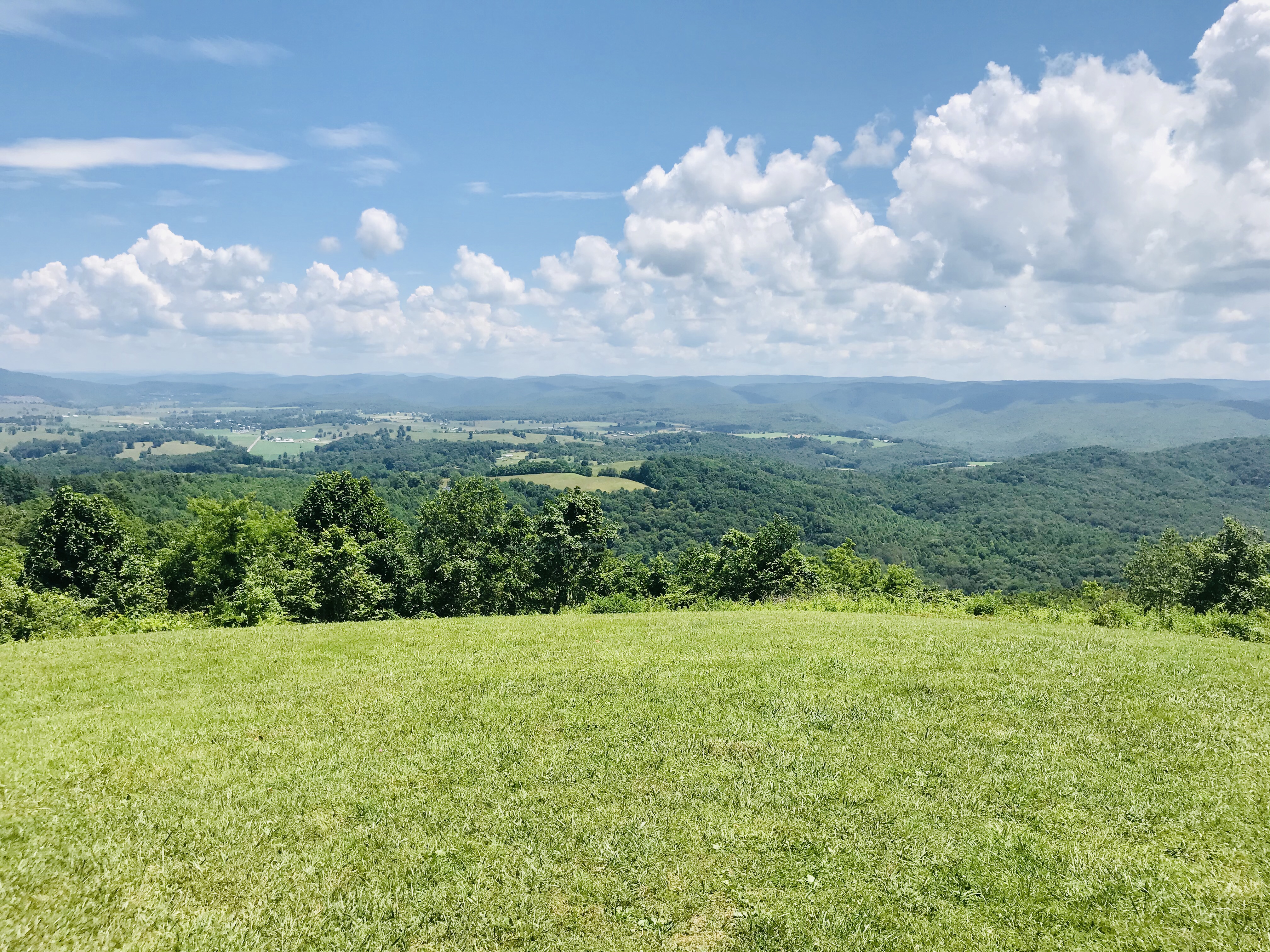
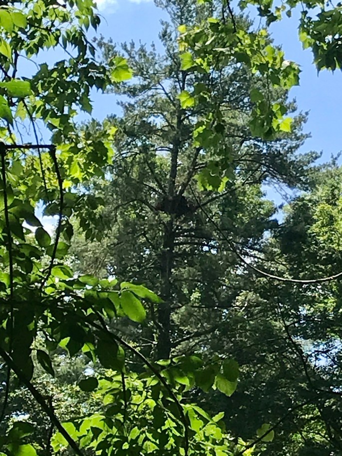
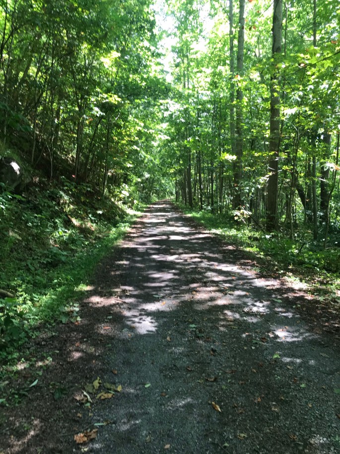
Did I mention that the camp also offers hiking? Both Dan and Lisa have plenty of outdoor expertise and experience. Unfortunately, the management and day-to-day upkeep of running the camp leaves them very little room for that these days. However, they have hiked all of the trails on their 50 acre property. They will gladly give visitors maps and offer tips for finding the best views of the lakes or the La Cloche mountains. John and I can attest to the fact that the trails are well-marked, but hikers will definitely want to bring along the bug spray when heading off into the woods!
a “Reel” gem of a Place!💎

Personally speaking, John and I fell in love with this gem-of-a-camp. Dan and Lisa are attentive and available hosts if/when guests need them to be, but they do not hover. The camp fosters a laid back vibe that warmly welcomes family and friend groups as easily as it does couples and individuals. The interests of guests while we were there varied–some were drawn to fishing, boating, and/or swimming while others were more drawn to quiet walks, card games, and reading. Additionally, several of the cabins are pet friendly, and we certainly made friends with a few camp canine guests!
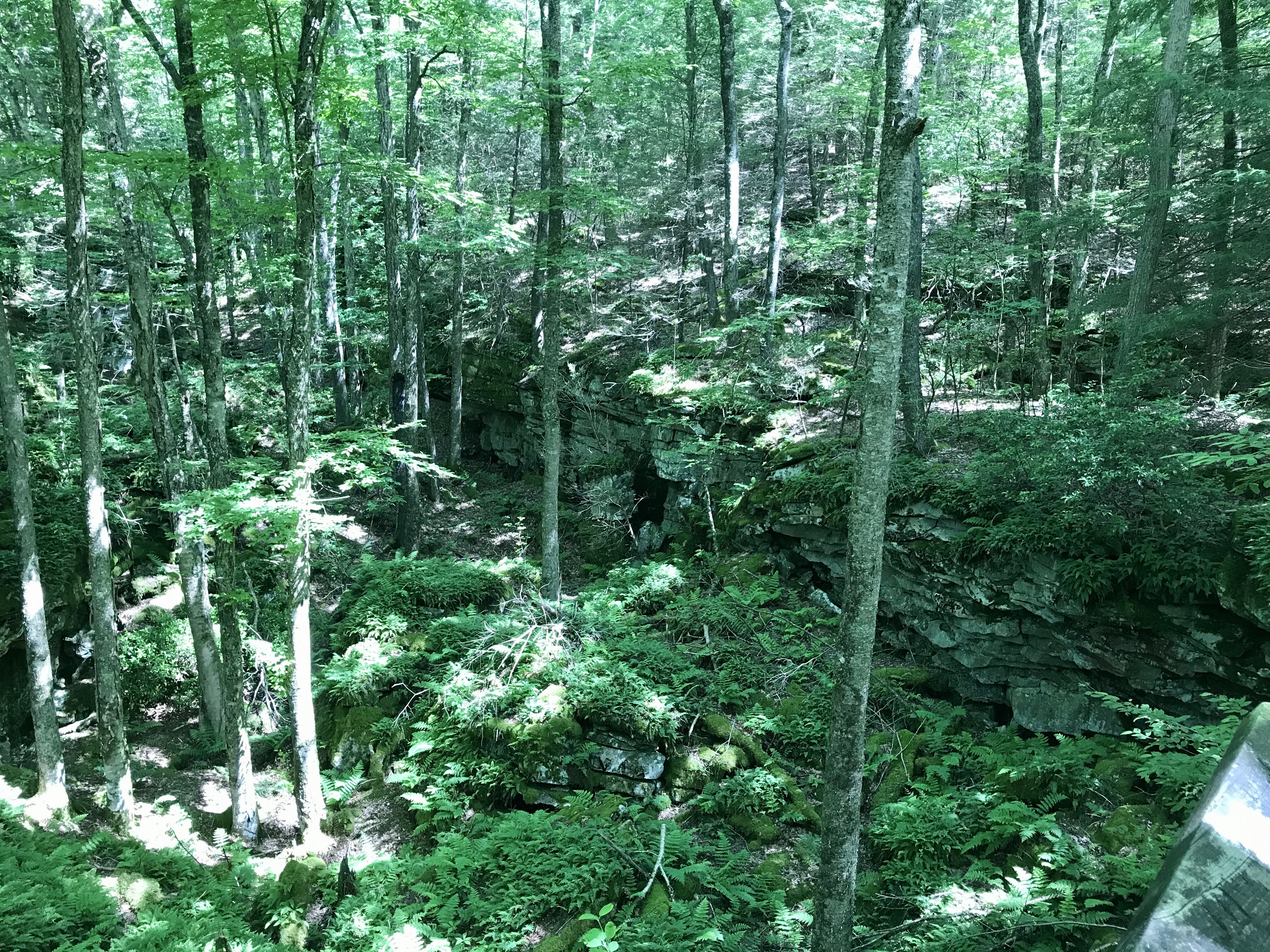
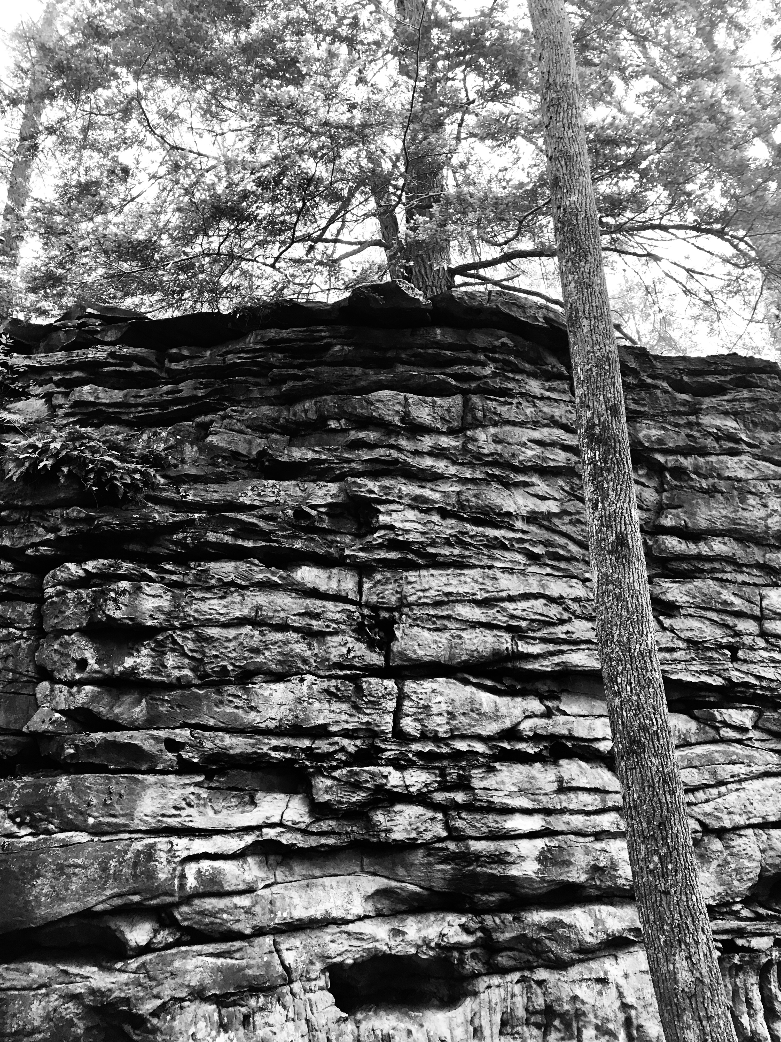
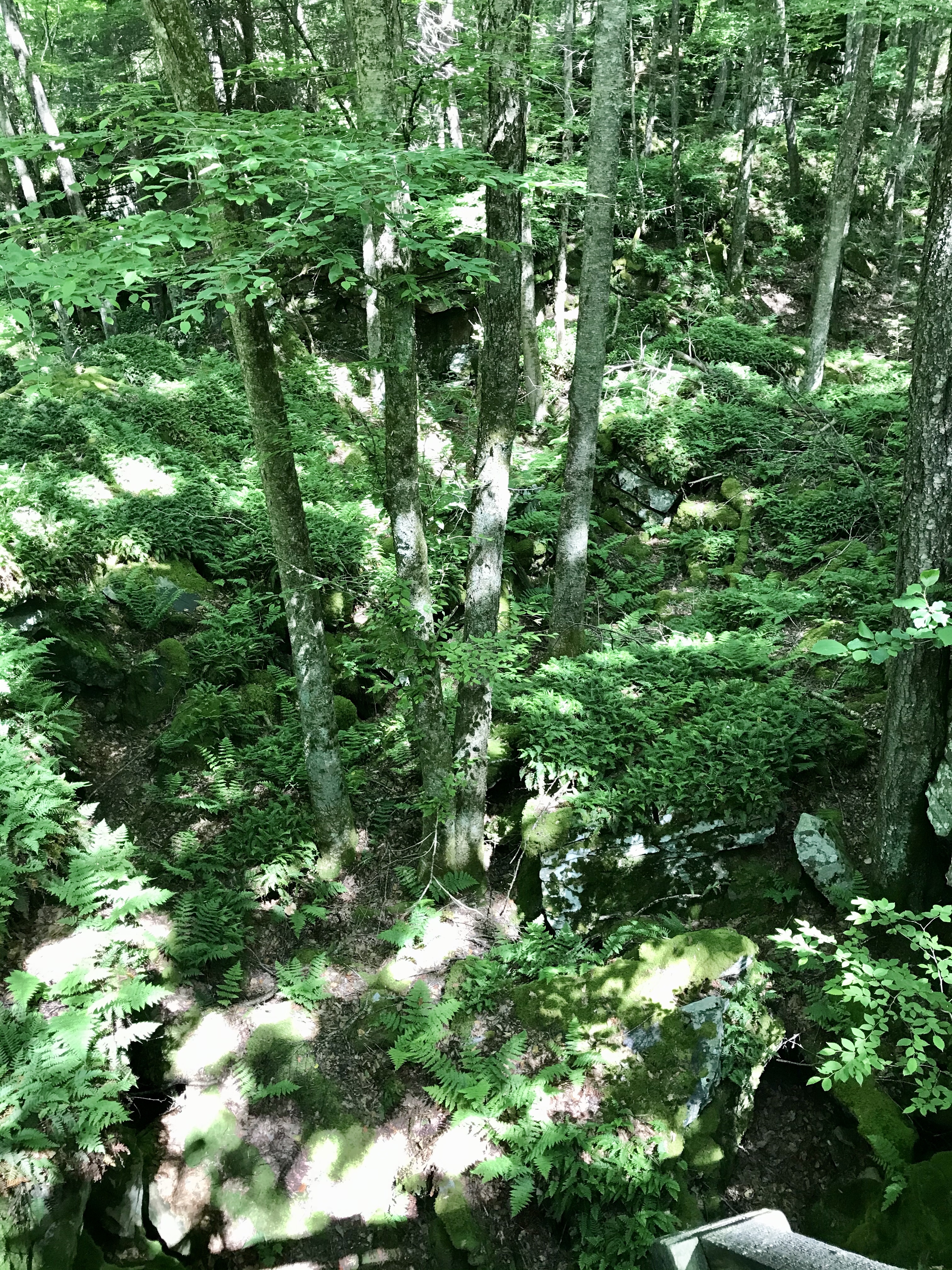
Pristine Waters🌊

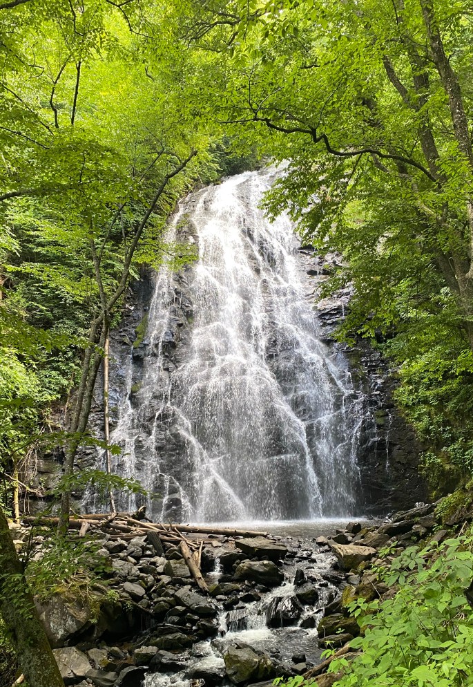
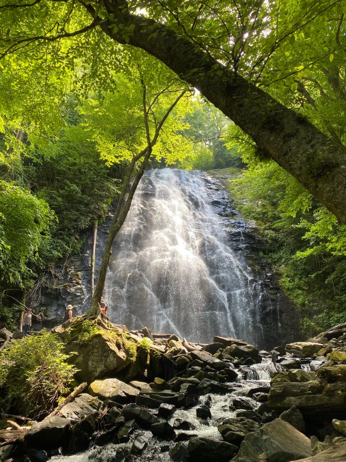
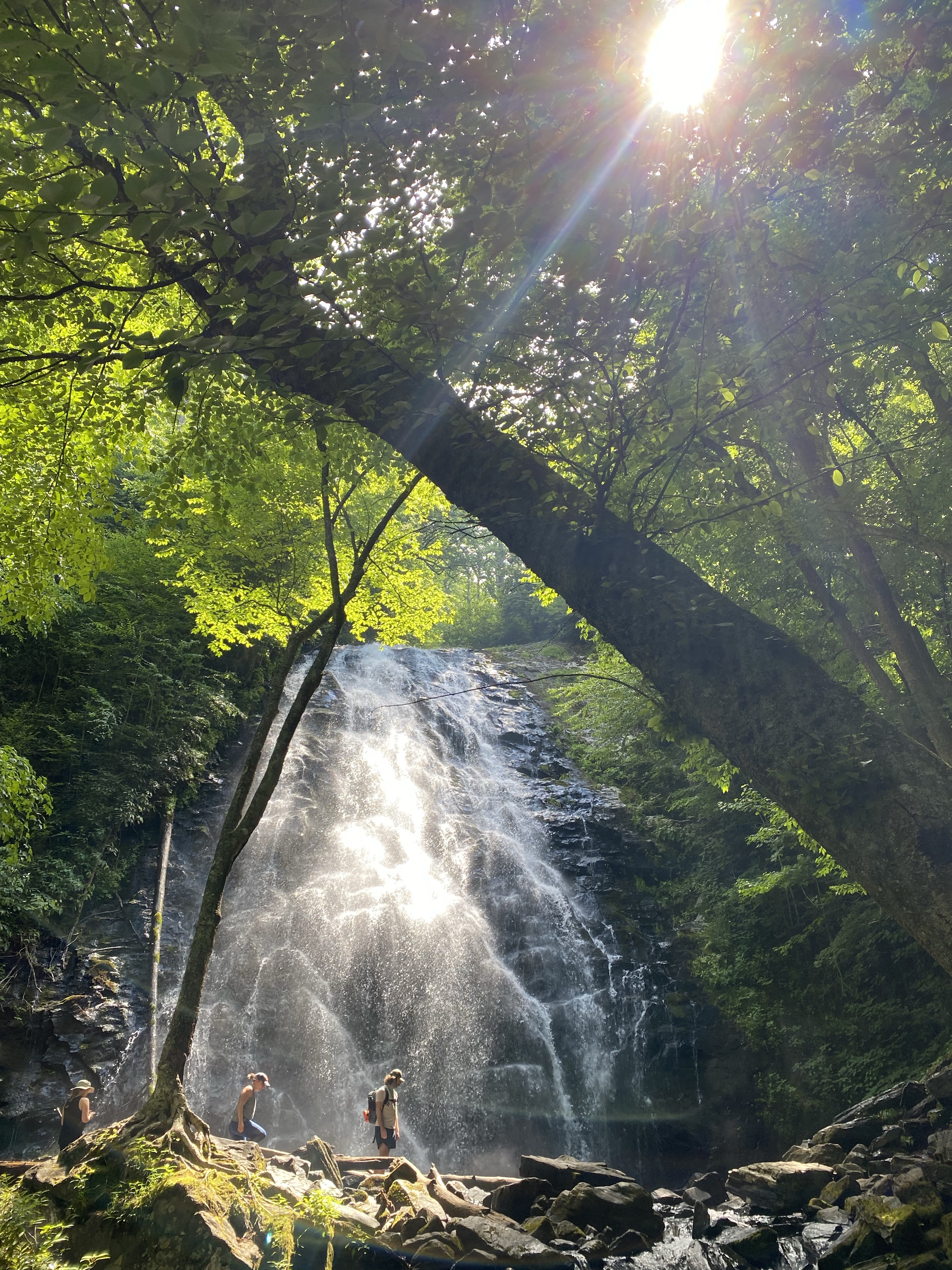
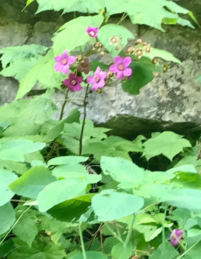
The lakes encompassing Lake Charlton Camp are pristine and do not appear overused. Its surroundings are serene and filled with bird song, encouraging guests to unwind amidst the exquisite nature-centrentric setting–alabaster mountains; rising rock on wind-swept islands; pine-scented, needle-strewn forested paths; and plenty of rippling lake water. Paradoxically, guests are a super-short boat-ride away from nearby Espanola, Whitefish Falls, and Manitoulin Island, but I’ll write more about that in my next piece.
We’ll Be Back
In conclusion, whether you are looking for a solo/couple nature retreat or you’re looking for a one-of-kind summer/fall adventure for family and/or friends, check out Charlton Lake Camp. It provides the ideal setting for getting back to nature and all the simple goodness the great outdoors provides if only we are willing to venture there. The cottages are clean and comfortable, the view of the lake is spectacular, especially with the setting of the sun, and the location is ideal–far enough away from all the sights/sounds of the city, but close enough if you need to get back to town for that one item you forgot to pack. In fact, John and I have already tentatively booked our stay for next year. Meanwhile, I am already dreaming of waking to the sound of the loon, listening to gentle sounds of lake waters lapping the shore, and the glint of evening sunlight as it kisses the lake goodnight.
Here’s to safe and happy travels!
Important Note from Author
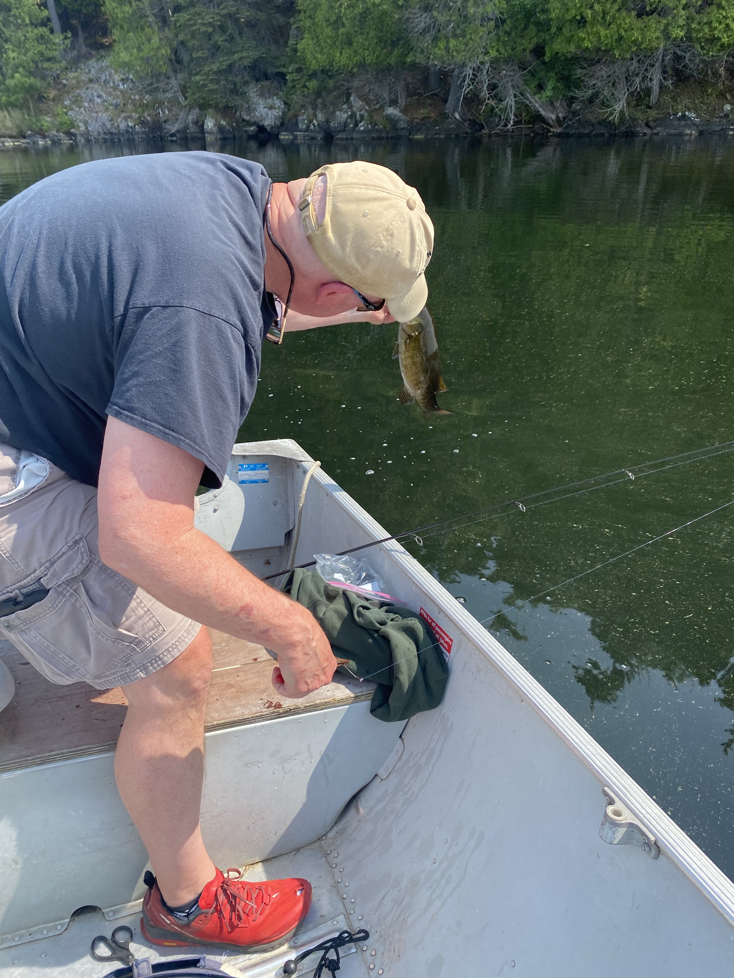
John and I only practice catch and release fishing. According to the U.S. National Park Service, this practice improves native fish populations by allowing more fish to remain and reproduce in the ecosystem. We make every attempt to handle the fish properly, photograph it quickly, and then gently release it into the waters to continue swimming another day. This also allows other anglers the opportunity to experience the joys of fishing and the great outdoors for years to come.
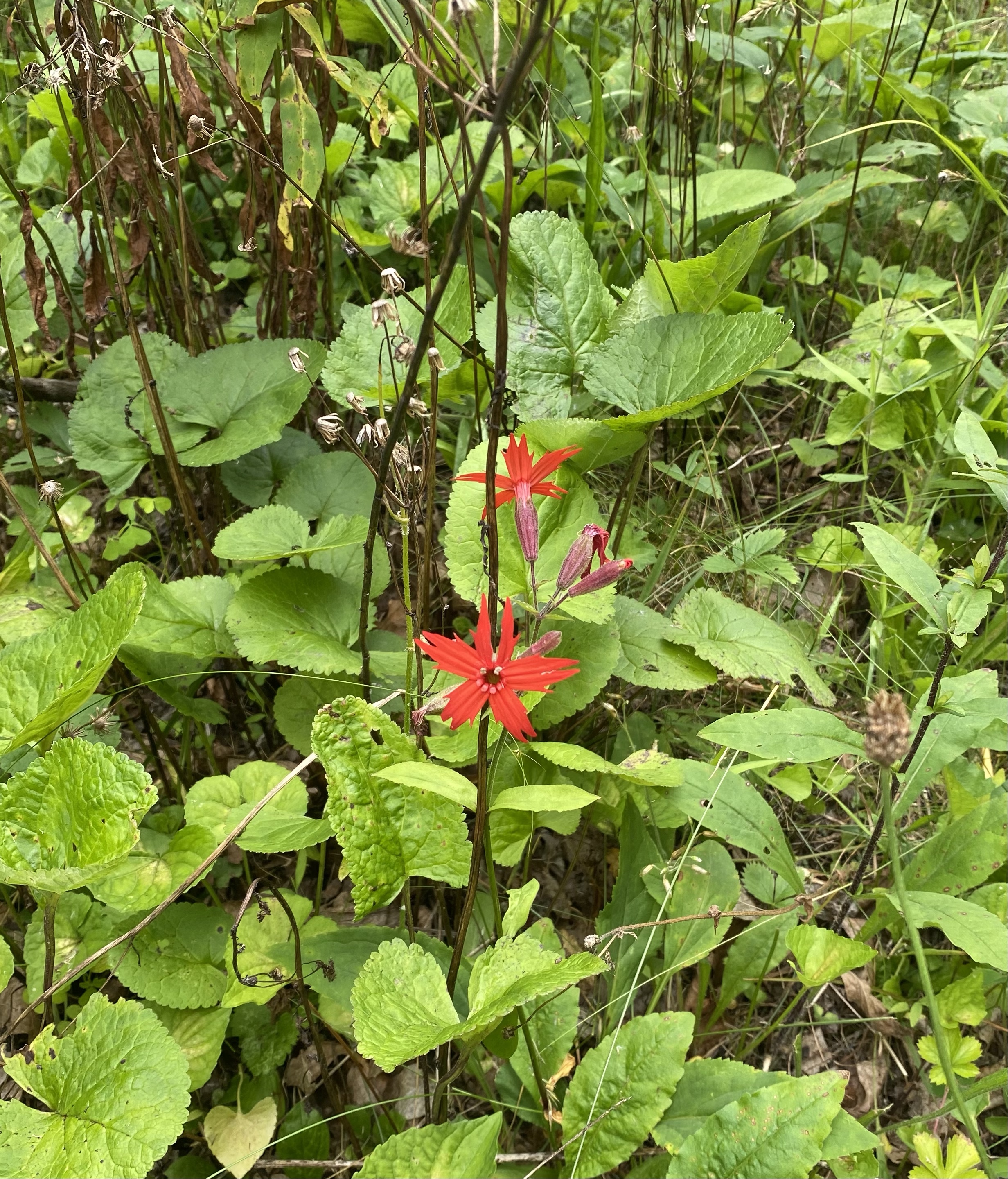
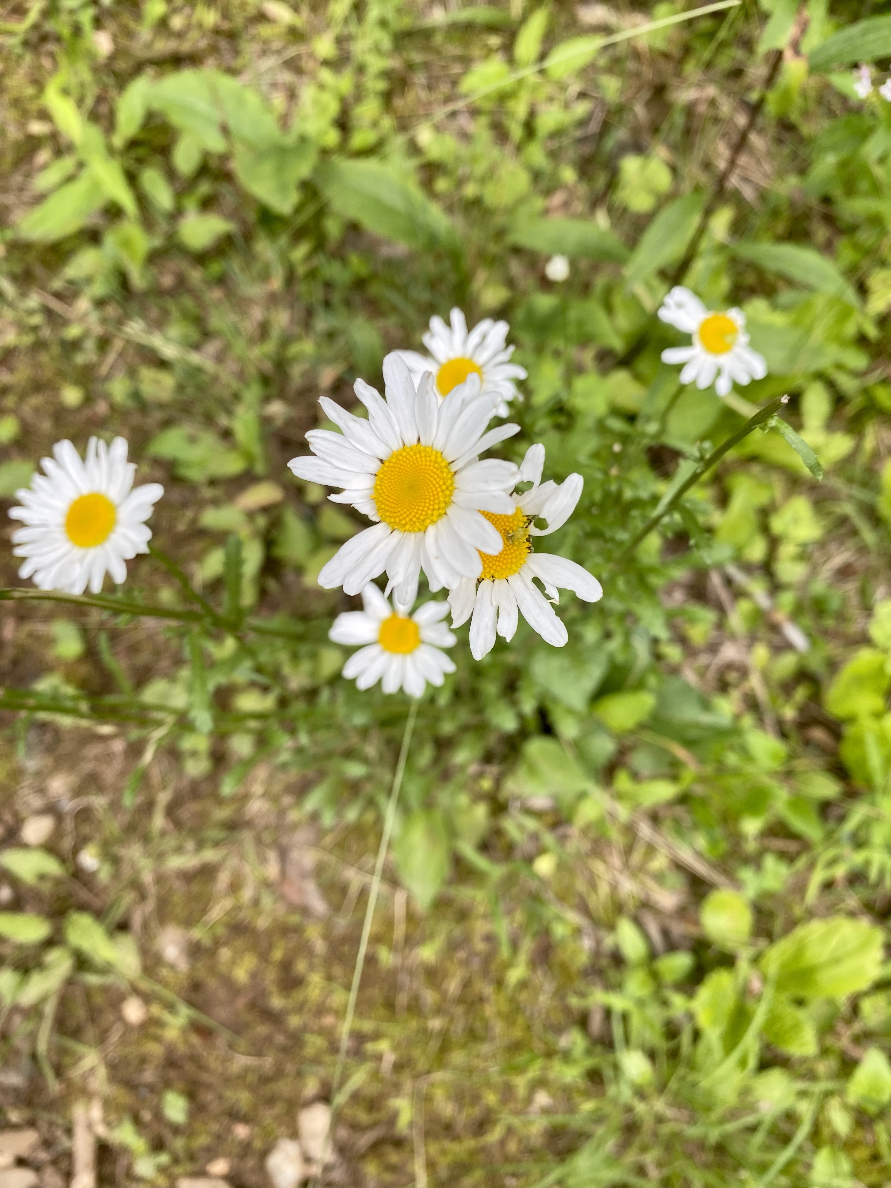
More images from Lake Charlton📷